Hiking The Seoul City Wall: Baegaksan Mountain Trails
Of all the sections of the Seoul City Wall, Baegaksan was my favorite.

How is this view real and how it is just minutes from bustling Seoul??
For nearly 40 years, this mountain was closed to the public due to security concerns following the 1968 North Korean infiltration attempt known as the January 21 Incident. Today, you can climb nearly 1,100 stairs to Baegakmaru Summit, walk alongside centuries-old fortress walls, and enjoy some of the most spectacular views in Seoul.
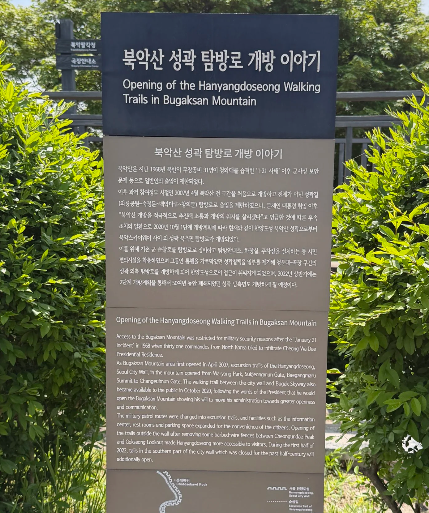
Opening of the Hanyangdoseong Walking Trails historical information sign
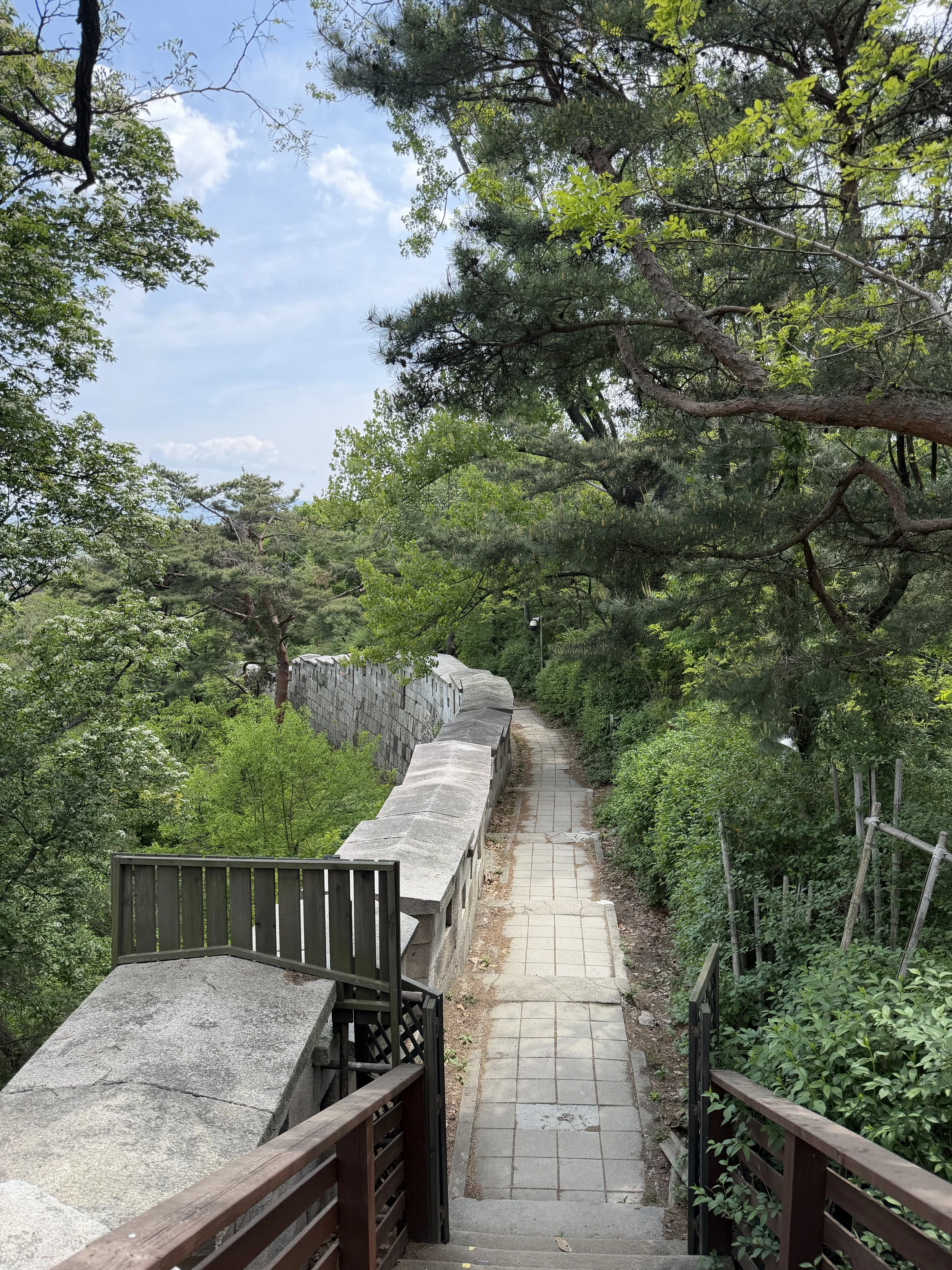
More than any other section of the Hanyangdoseong Trail, Baegaksan feels like a true mountain adventure hidden in the heart of the city. Naksan offers easy walking and Inwangsan delivers dramatic rock formations and panoramic views, but Baegaksan immerses you in dense forest and mountain ridgelines.
Baegaksan Trail Information
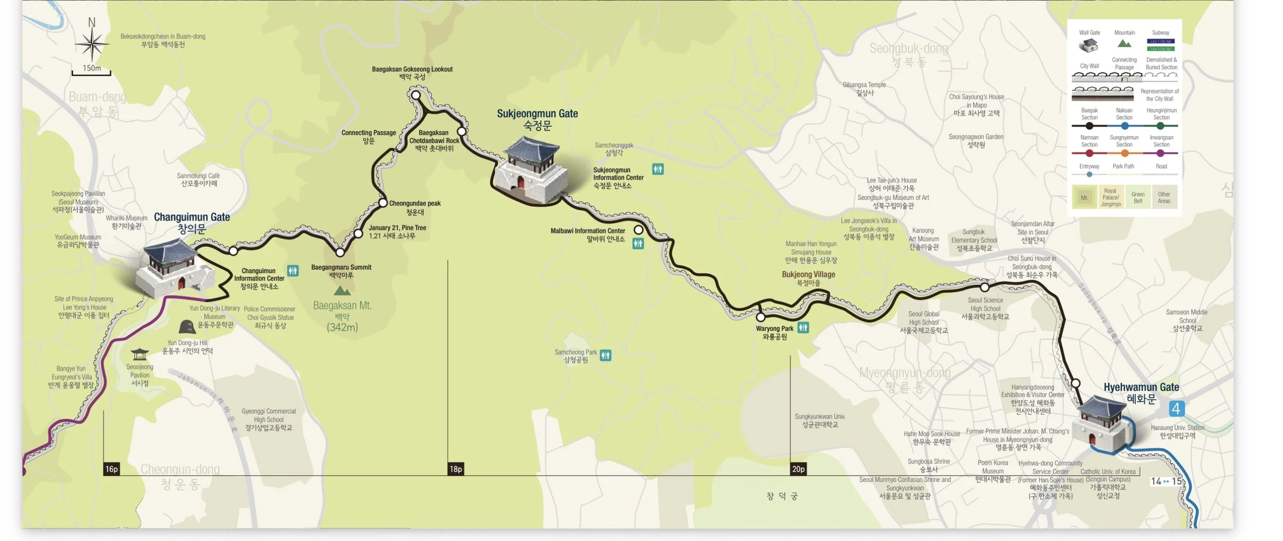
Baegaksan trail map from the Seoul City Wall app
Distance: Approximately 4.7 km (2.9 miles) from Changuimun Gate to Hyehwamun Gate
Time Required: 3+ hours, depending on pace and stops
Difficulty: Moderate to Difficult
Best For: Hikers seeking mountain scenery, Seoul City Wall history, military history, and panoramic views
Hours:
Open 365 days a year, including holidays.
Winter (November–February): 09:00–17:00 (last entrance 15:00)
Spring & Fall (March–April, September–October): 07:00–18:00 (last entrance 16:00)
Summer (May–August): 07:00–19:00 (last entrance 17:00)
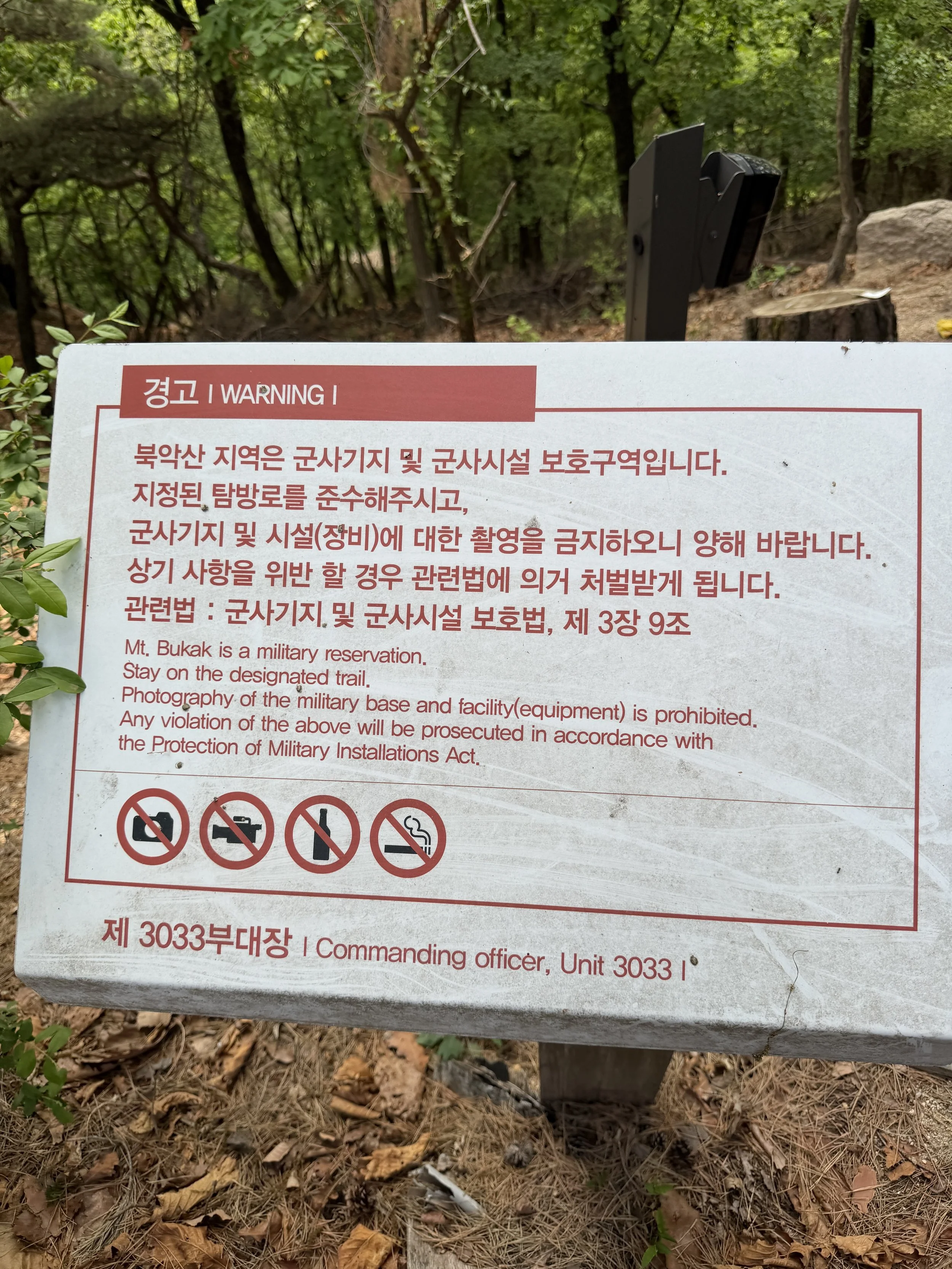
Things to Note: Visitors should carry their passport, as this section passes through a military-controlled area and identification may be checked. Pay attention to signage as photography is not allowed in several areas.
Naver pin for Changuimun Gate bus stop
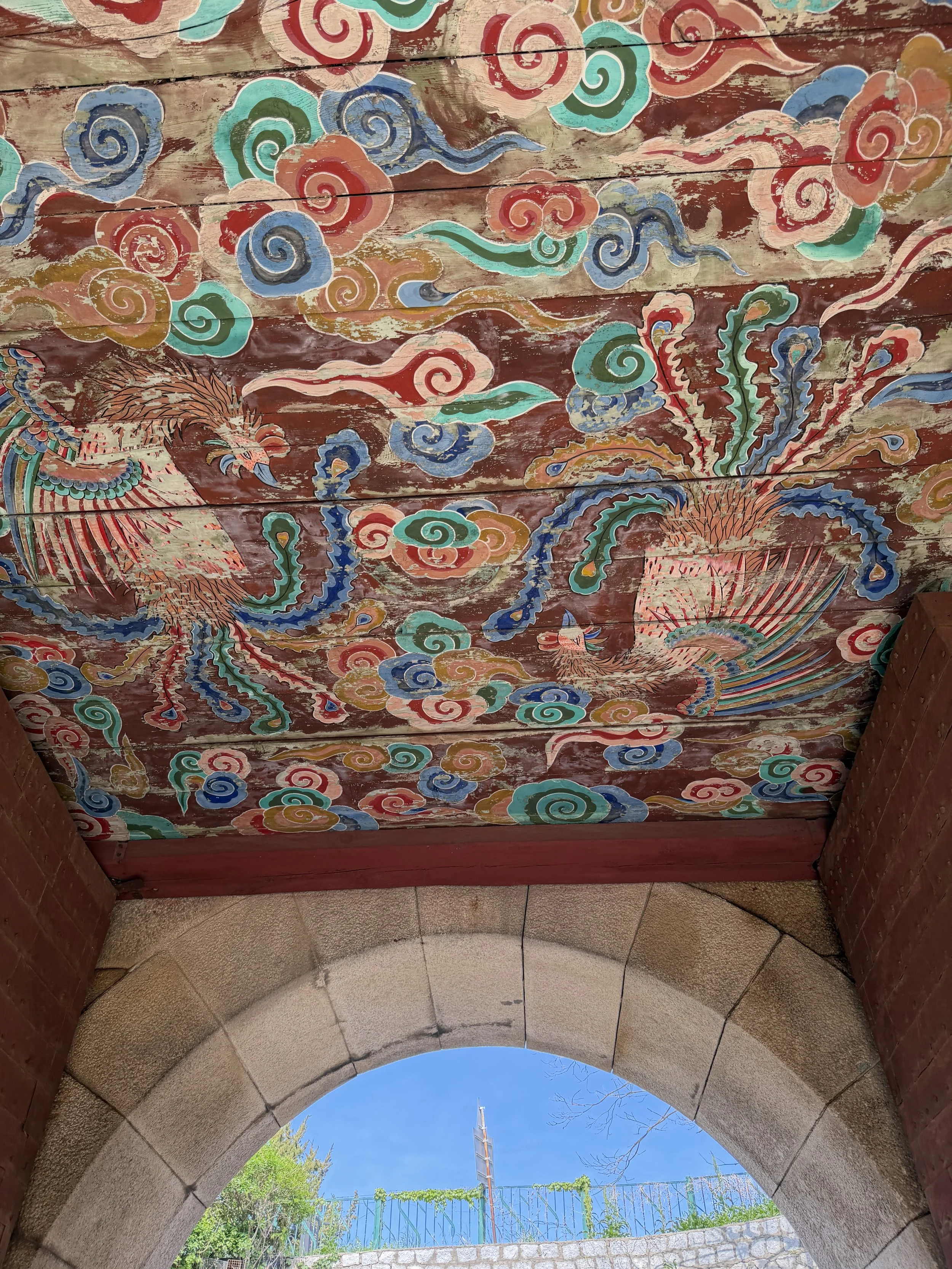
Changuimun Gate

Changuimun Gate
Changuimun is the only auxiliary gate of the Seoul City Wall whose pavilion has survived to the present day. This pavilion was destroyed in 1592 and was reconstructed in 1741. A commemorative board honoring those who helped place King Injo on the throne of Joseon still hangs inside the pavilion today.
Although the Baegaksan section begins at Changuimun Gate, located between Inwangsan and Baegaksan Mountains, you can’t stay on the wall to pass through Changuimun Gate. Instead, you’ll exit to the road and cross the street to get back on the trail.
Before starting the hike, you'll pass through/by a visitor center. Because Baegaksan lies within a military-controlled area, visitors are advised to carry their passport. I brought mine both times I visited, although I was never asked to show it and was simply waved through the checkpoint. Requirements can change, however, so bringing your passport is still a good idea.
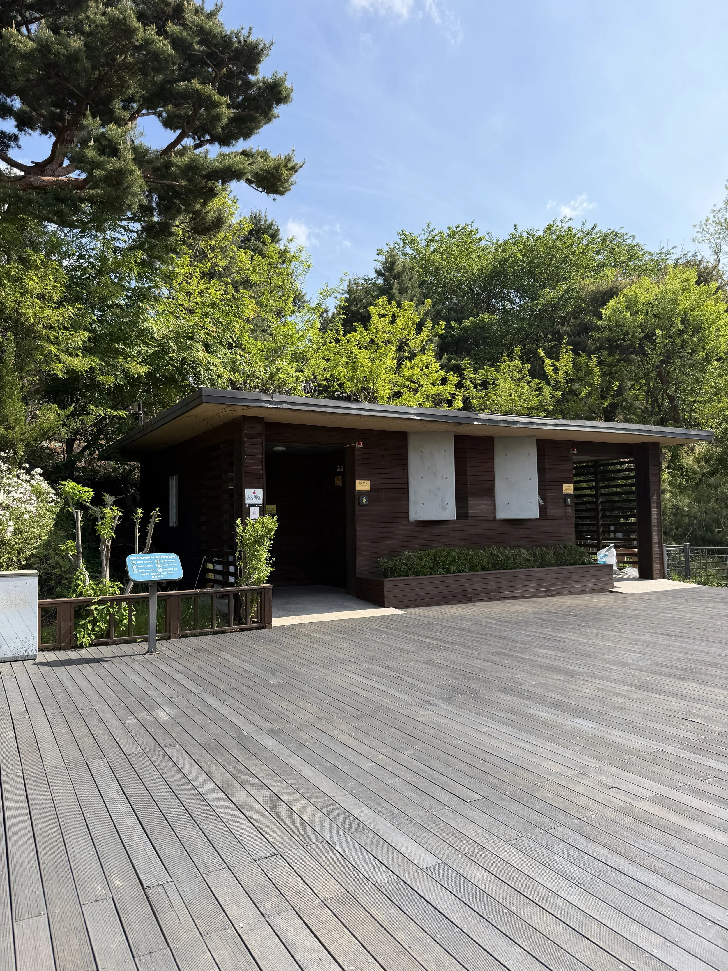
Bathroom facilities at Changuimun Gate.
The Changuimun Gate also has large, clean restrooms, trail maps, seating areas, and information displays. Since facilities are limited once you begin hiking, this is a good place to use the restroom, fill your water bottle, review the trail map, and take a short break before starting the climb.
The Mountain That Was Closed for 40 Years

What makes Baegaksan different from the other sections of the Seoul City Wall isn't just the scenery, it's the history. In January 1968, a team of North Korean special forces infiltrated Seoul in an attempt to reach the Blue House, the presidential residence. The incident, now known as the January 21 Incident, led to heightened security measures throughout the area.
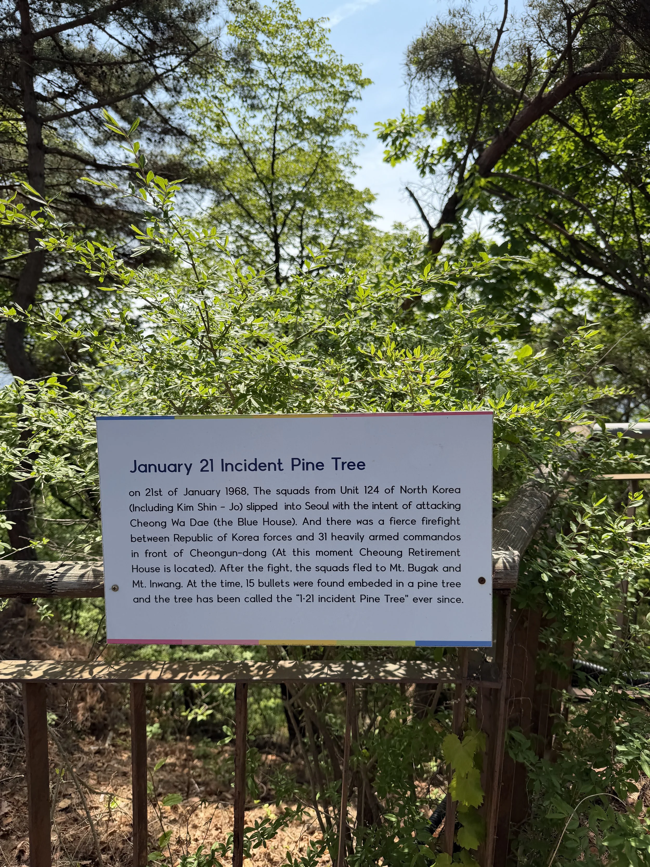

One of the most memorable historical landmarks along the route is the January 21 Incident Pine Tree. The tree still bears bullet holes from the firefight that occurred during the pursuit of the infiltrators, serving as a living reminder of one of the most significant security incidents in modern Korean history.
Because of Baegaksan's strategic location overlooking central Seoul, public access to the mountain was heavily restricted for decades. The trail remained largely closed to civilians until 2007, when it was finally reopened.

Even today, reminders of that history are everywhere. Military observation posts overlook the city, security infrastructure remains visible along portions of the trail, and hikers are never allowed to forget the mountain's strategic importance.
Climbing to Baegakmaru Summit

I almost attempted Baegaksan on the same day that I hiked Inwangsan. After starting up the first section of stairs, I quickly changed my mind and decided to save the mountain for another day. Looking back, that was absolutely the right decision.
The hike begins with an immediate challenge: stairs. Lots of stairs. If you'd rather not know how many await you, consider this your spoiler warning.

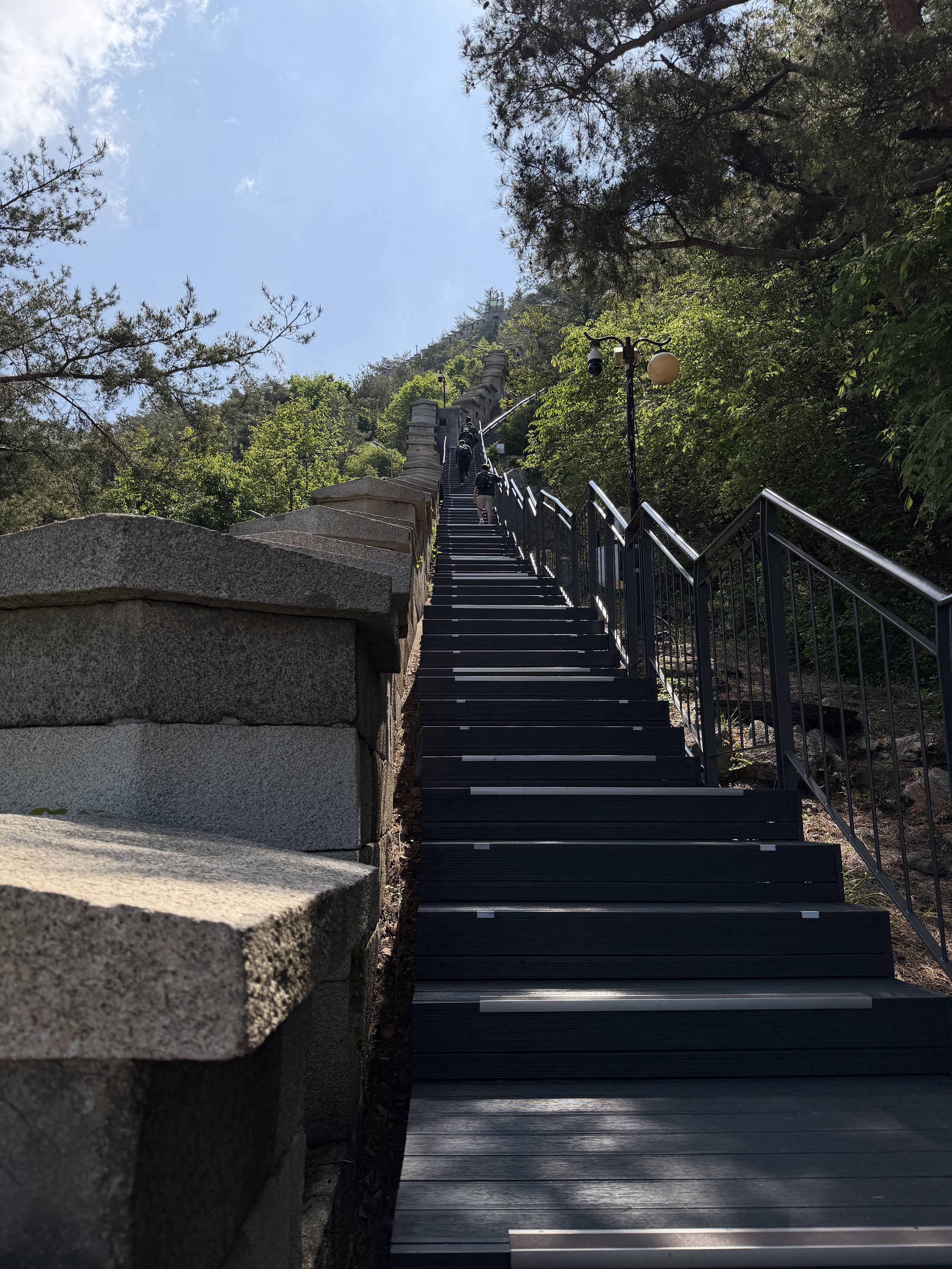
The climb to Baegakmaru Summit includes nearly 1,100 stairs.

The Dolphin Rest Area was under construction when I visited in April 2026.
Thankfully, several rest areas break up the ascent, giving you plenty of opportunities to catch your breath and enjoy the views. Even with a few short stops, it took me about 40 minutes to reach Baegakmaru Summit from the base of the staircase. If you take your time at the rest areas or stop for photos, expect the climb to take closer to an hour.

The Baegaksan Rest Area, the largest rest area on the ascent.
This was easily the most physically demanding part of the hike, but the views along the way made it easy to forget a bustling Seoul was right below you.
The views from the summit are fine - it’s very wooded so you’re not getting the views of Seoul like along Inwangsan. Because of the trees, there are only a few spots that actually look out over Seoul, plus you’re still in a military zone where photography is limited. I found the views of Seoul to be better from Cheongundae Peak and Gokseong Lookout.
Cheongundae Peak

One of the highlights of the climb is Cheongundae Peak, a rocky overlook that provides some of the best views on the entire Baegaksan Trail. From here, the city stretches out in every direction, framed by the surrounding mountains and the winding Seoul City Wall.

On a clear day, it's easy to pick out familiar landmarks while appreciating just how much green space exists within Seoul. Despite being one of the most popular viewpoints on the mountain, Cheongundae still feels peaceful thanks to the surrounding forest and open ridgeline. Once you’ve reached Cheongundae, the hike is really smooth and easy on the way down.
Wildlife on the Trail
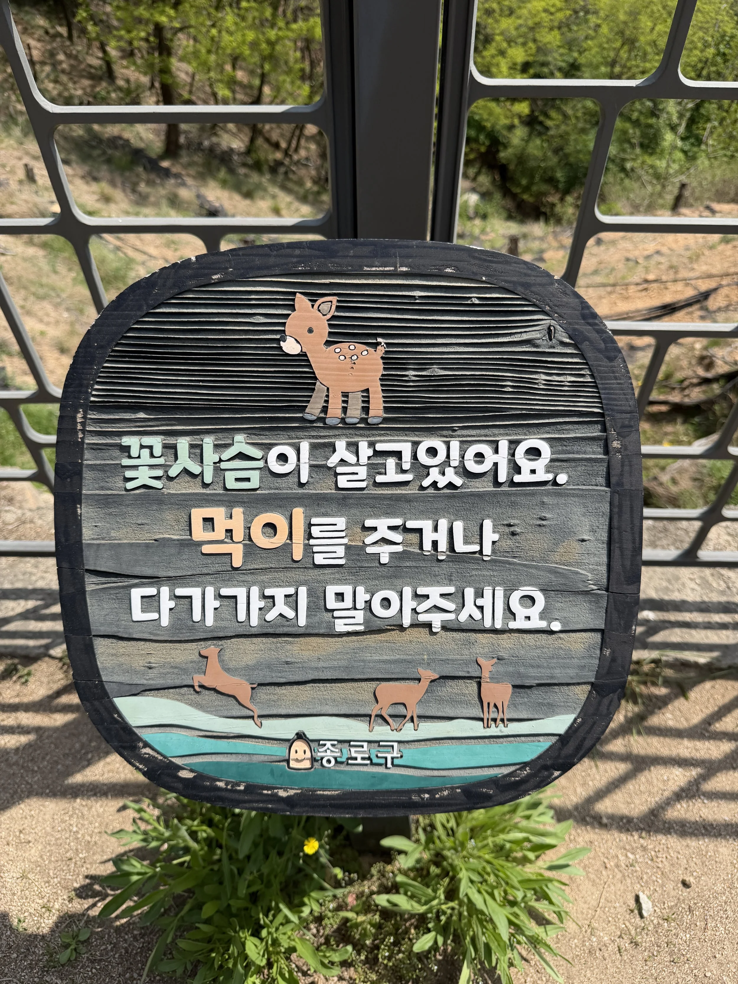
Once I passed Baegakmaru, I started to signs on the trail for flower deer, more commonly known as sika deer. I read the sign, thought it was an interesting fact, and continued hiking hoping that I would spot a deer or two.
Just a few minutes later, I spotted one. Like I was taking a video and turned left and he was literally staring right at me. For several minutes, the deer and I traveled along the trail together, him on the mountain and me on the trail. Eventually, it darted back into the trees and disappeared, while I continued toward the next section of the wall.

Literally turned around to see this guy staring at me
I would regularly see the Vampire Deer on my hike at Buraksan and I’m from the southern US where deer are plentiful - but they still stop me in my tracks. I love coming across deer while hiking.
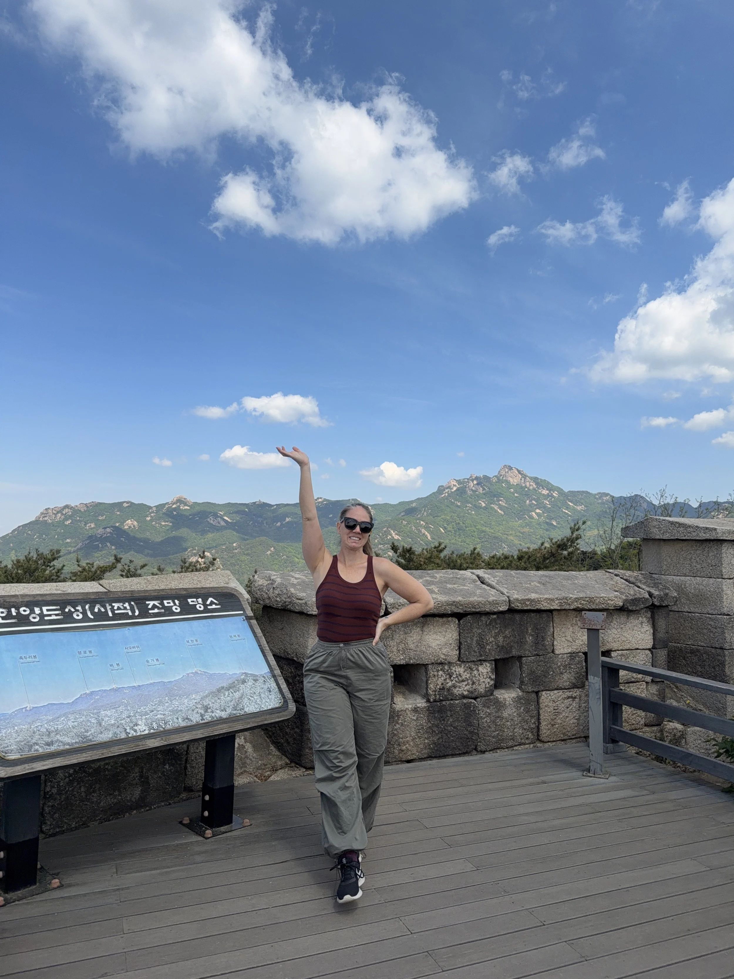
Baegaksan Gokseong Lookout Point
Check out those mountains behind me!
One of my favorite viewpoints along the trail was the Baegaksan Gokseong Lookout Point perched along the ridge line. The lookout offers sweeping 360 degree views of the surrounding mountains and long stretches of the Seoul City Wall snaking over the landscape.
When you see the signs pointing to the Baegaksan Gokseong Lookout Point, make sure to follow the trail that way - it’s well worth it.
Chotdaebawi Rock
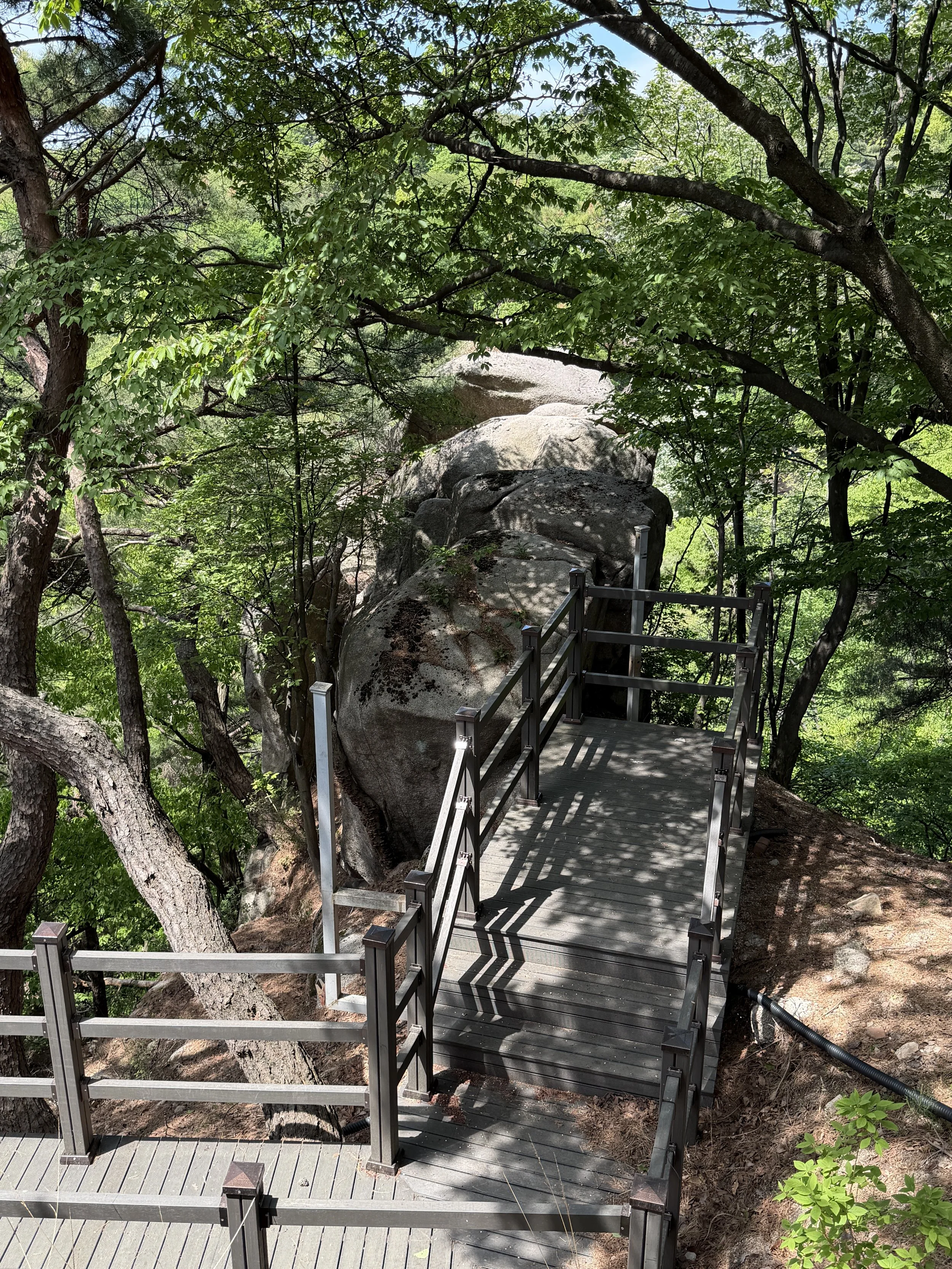
From Cheongundae Peak to Sukjeongmun, the trail passes by Chotdaebawi Rock, whose name translates to "Candlestick Rock." The rock gets its name from an iron stake driven into the mountain by the Japanese colonial government, which was later removed after independence and replaced with a candlestick-shaped monument to wish for Korean national development.
Maybe an unpopular opinion, but it was not worth that hype. It is a large rock on a mountain.
Sukjeongmun Gate

Sukjeongmun Gate, back view, view from the South
The trail eventually reaches Sukjeongmun Gate, the main north gate of the wall. Originally constructed in 1396, the gate served as a northern passage through the fortress walls protecting the capital and directly in line with Gyeongbokgung.


Like much of the wall, the gate has been rebuilt and restored over the centuries, but it remains an important reminder of Seoul's defensive history. It’s truly beautiful up here, hidden in the mountains.

To continue the Seoul City Wall hike, you’ll stay on the southern side. To exit the Seoul City Wall hike, go through the gate to the North side and follow the stairs.
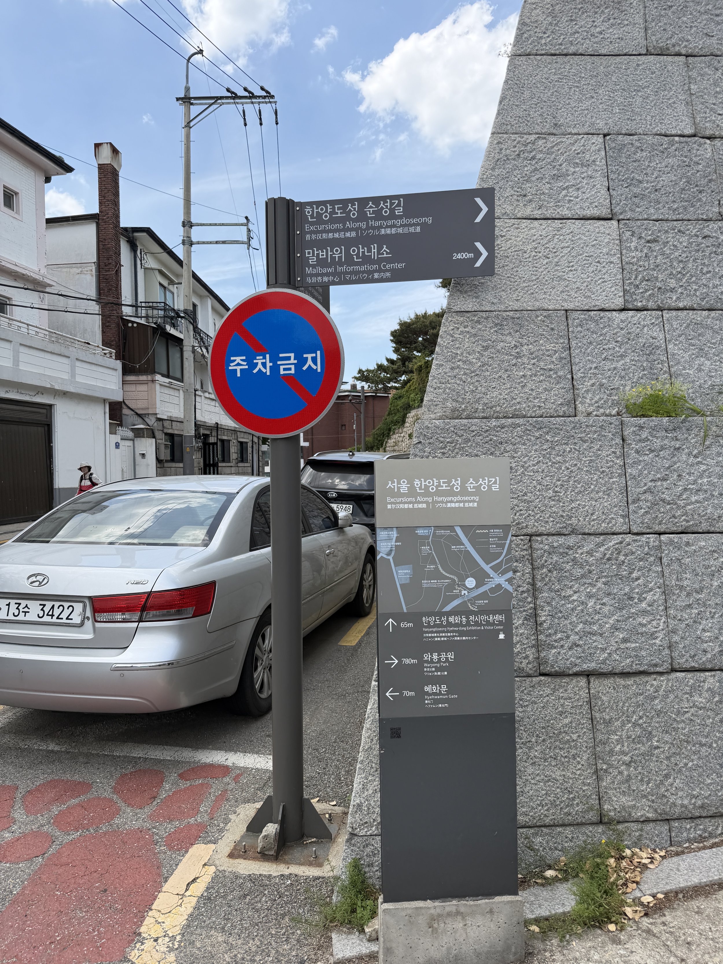
Malbawi Information Center

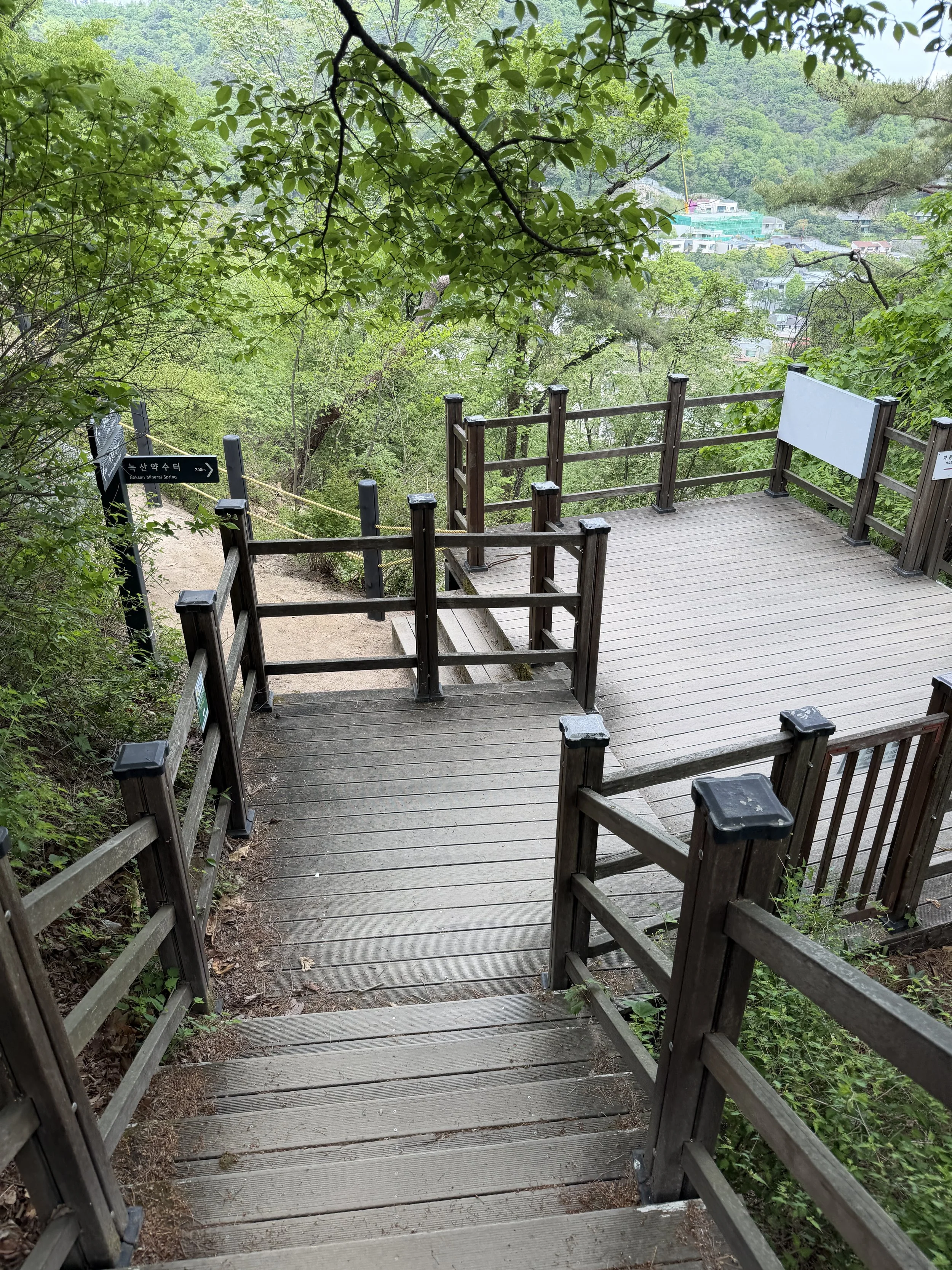
Continuing east along the wall, you’ll reach the trail junction leading to Malbawi Information Center. This is one of the few convenient exit points on the Baegaksan section and provides access back into the city if don't wish to continue all the way to Hyehwamun Gate.

The center serves as a helpful navigation point but there are no amenities here. If you're running low on water, short on time, or simply ready to end your hike, this is one of the best places to leave the trail.


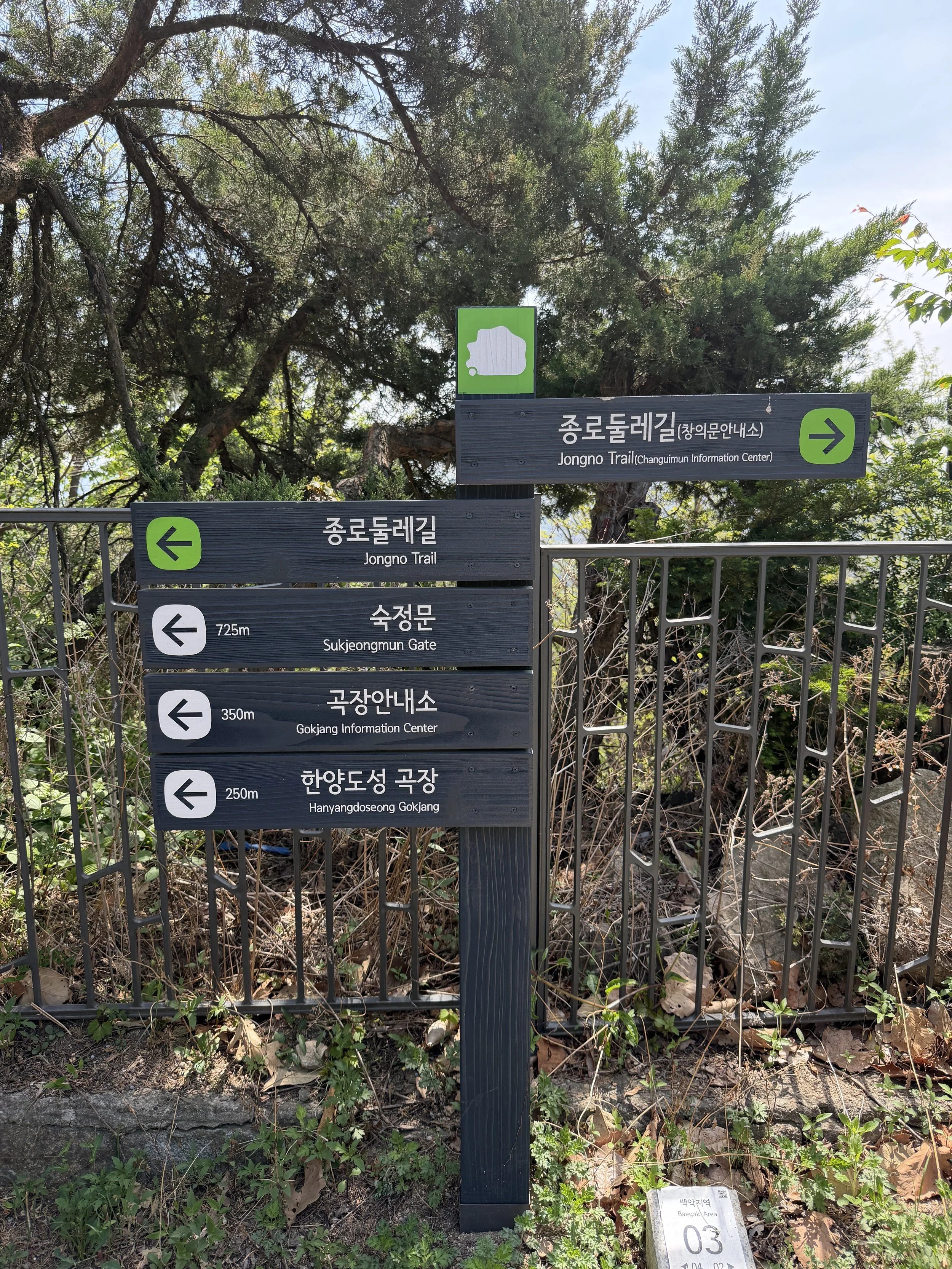
From here to Waryong Park, there are a lot of trails converging. At one point, you’ll climb up over the wall and then down, and follow signs like the one above.
From Waryong Park to Hyehwamun Gate

After leaving the mountain behind, the final stretch from Waryong Park to Hyehwamun Gate feels very different from the forested ridgelines of Baegaksan. As the trail reenters the city, you'll find yourself walking through residential neighborhoods, parks, and city streets. In some places, the original fortress wall remains clearly visible, while in others it disappears entirely.

Fortunately, the Seoul City Wall Trail is remarkably well marked. Throughout the route, you'll find Hanyangdoseong medallions embedded in the sidewalk, fortress wall symbols attached to utility poles and electrical boxes, and directional street signs pointing hikers toward the next section of the trail. At first, I found myself constantly checking maps to make sure I was headed in the right direction. Eventually, I realized that the trail markers were everywhere.


If you ever think you've lost the route, take a moment to look up, down, and around. Chances are you'll spot a trail marker nearby. Between the sidewalk medallions, wall symbols, and directional signs, Seoul has done an excellent job making it possible to navigate the Hanyangdoseong Trail even when the historic wall itself is no longer visible.
Come Prepared
Unlike when I hiked Inwangsan, I came prepared for a much longer day on the trail. I packed several bottles of water, snacks, and a roll of gimbap for lunch. By the end of the hike, I had gone through three bottles of water, multiple snacks, and my entire meal.

Baegaksan feels far more remote than the other sections of the Seoul City Wall. There was a restroom along the route during my visit, but it was roped off and unavailable for use. Unlike Inwangsan, there are also very few opportunities to quickly leave the mountain once you've started hiking.

If you need to shorten your hike, you can exit near Sukjeongmun Information Center shortly after passing through Sukjeongmun Gate. Another option is the trail leading to Malbawi Information Center. Otherwise, you'll continue along the wall toward Hyehwamun Gate.

Looking back at Inwangsan from the initial ascent to Baegaksan
Because there are fewer exit points and limited services along the route, I strongly recommend bringing more water and snacks than you think you'll need, especially during the warmer months.
Why Baegaksan Was My Favorite Seoul City Wall Hike

Every section of the Hanyangdoseong Trail offers something unique. Naksan is incredibly accessible with excellent city views. Inwangsan combines dramatic granite peaks with panoramic overlooks. Baegaksan, however, feels like an escape.

The combination of mountain scenery, dense forest, centuries-old fortress walls, military history, and incredible viewpoints creates an experience unlike any other section of the Seoul City Wall. This is the kind of hiking I prefer.

The climb may be challenging, but the reward is worth every step. If climbing that many stairs initially is a problem for you, you can always hike from Sukjeongmun Information Center to Changuimun Gate or Baegakmaru Summit. If I could only recommend one section of the Seoul City Wall to visit for a true hike, Baegaksan would be it.
Continue Exploring the Seoul City Wall
If you'd like to explore more sections of the Hanyangdoseong, I've written guides for the other Seoul City Wall hikes as well. Each course offers a completely different experience, from the rugged granite peaks of Inwangsan to the forested slopes of Baegaksan and the scenic climb up Namsan.
You can start with my complete overview of the Hanyangdoseong, which includes the history of the wall, information on all six hiking courses, and tips for planning your own journey around Seoul's 18.6-kilometer fortress.
Read next:
Hiking the Namsan Trail of the Seoul City Wall (coming soon!)
Whether you're hiking a single section or working toward completing the entire route, the Seoul City Wall offers one of the best ways to experience Seoul's history, mountains, and neighborhoods all in a single journey.