2025 Korea Dulle Trail Expedition
Hiking Korea’s Dulle-gil is never the same experience twice. In 2025, I returned for my second Korea Dulle Trail Expedition—this time walking the Haeparang Trail from south to north, the opposite direction of last year.
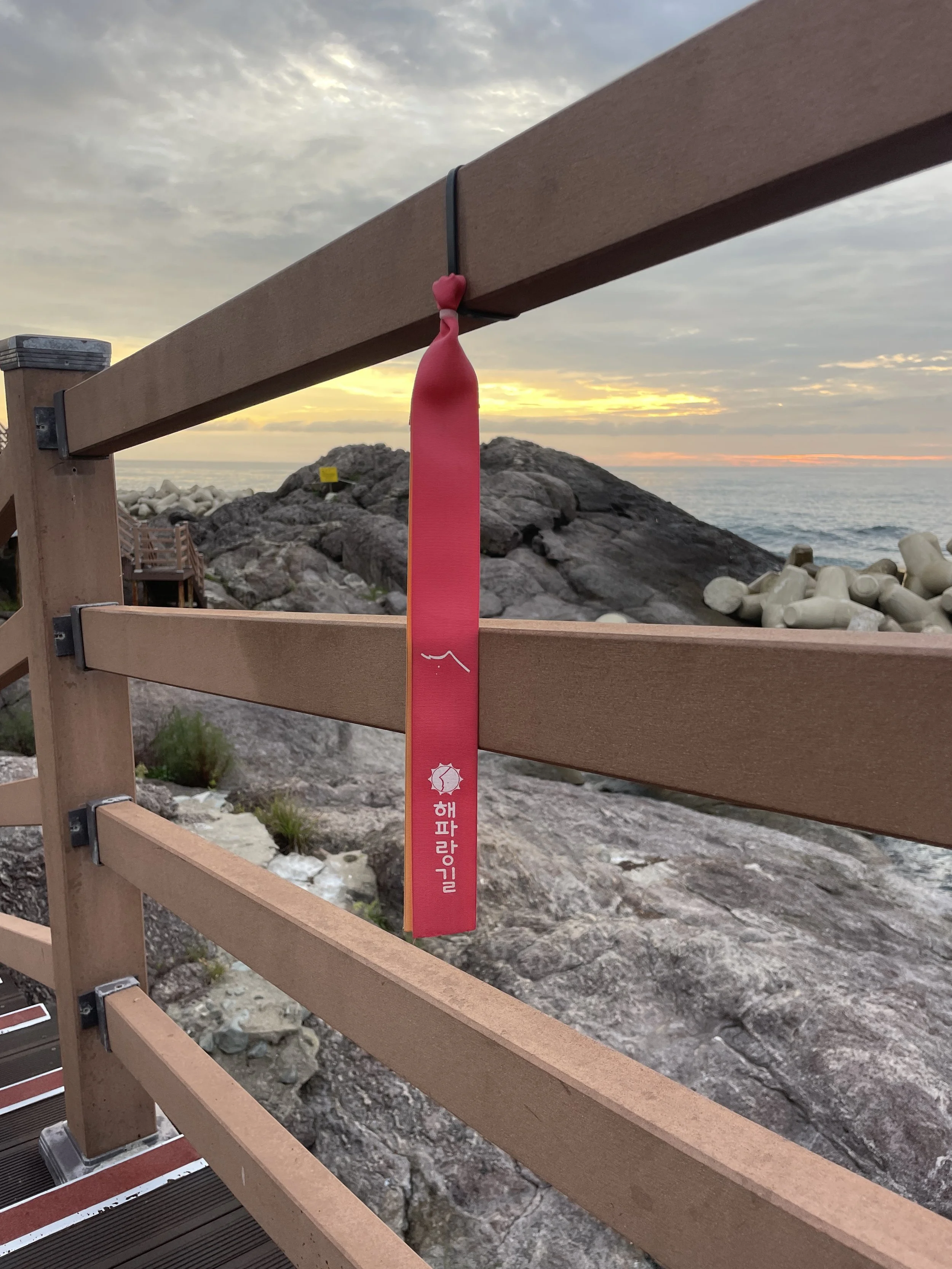
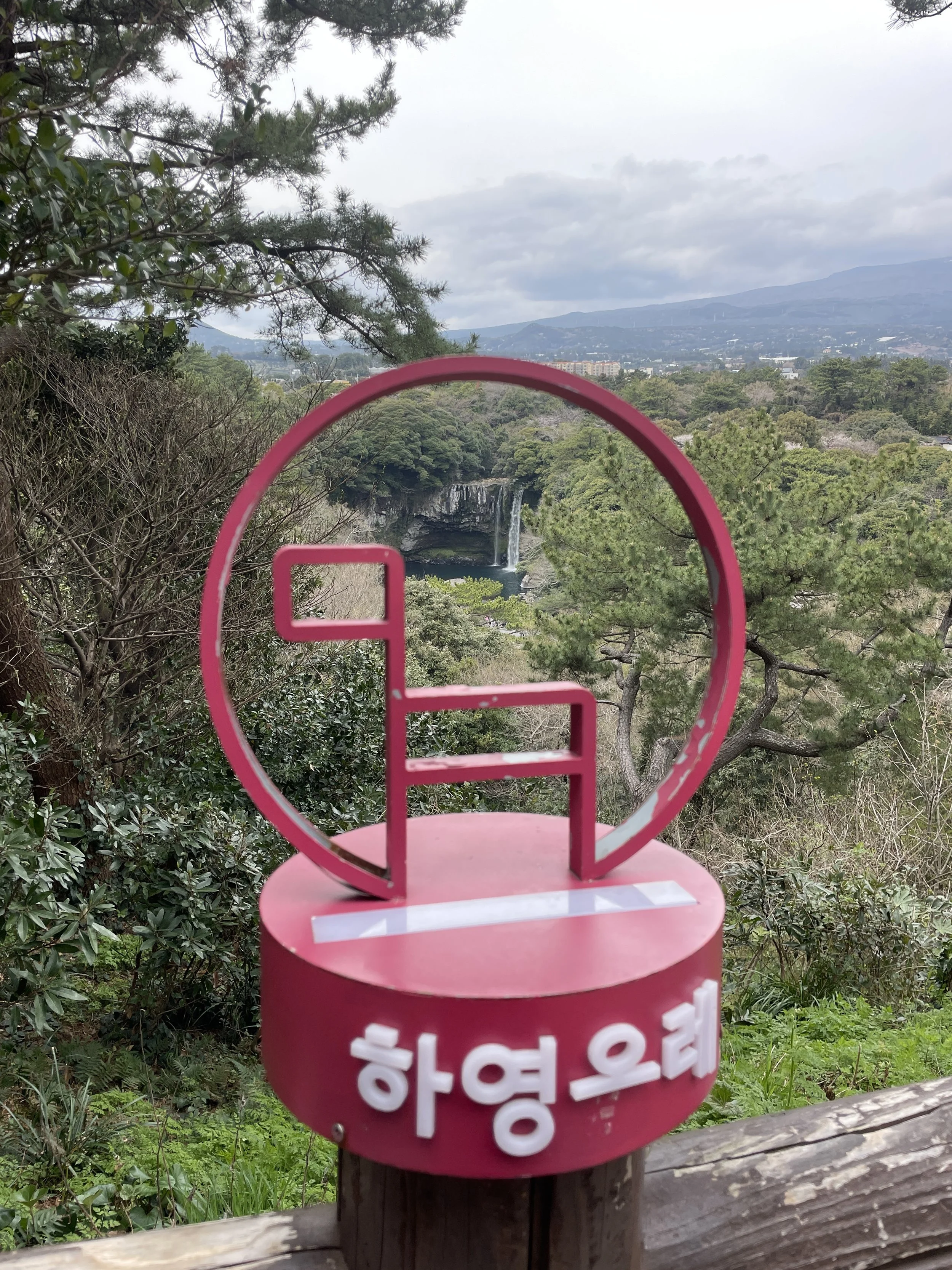
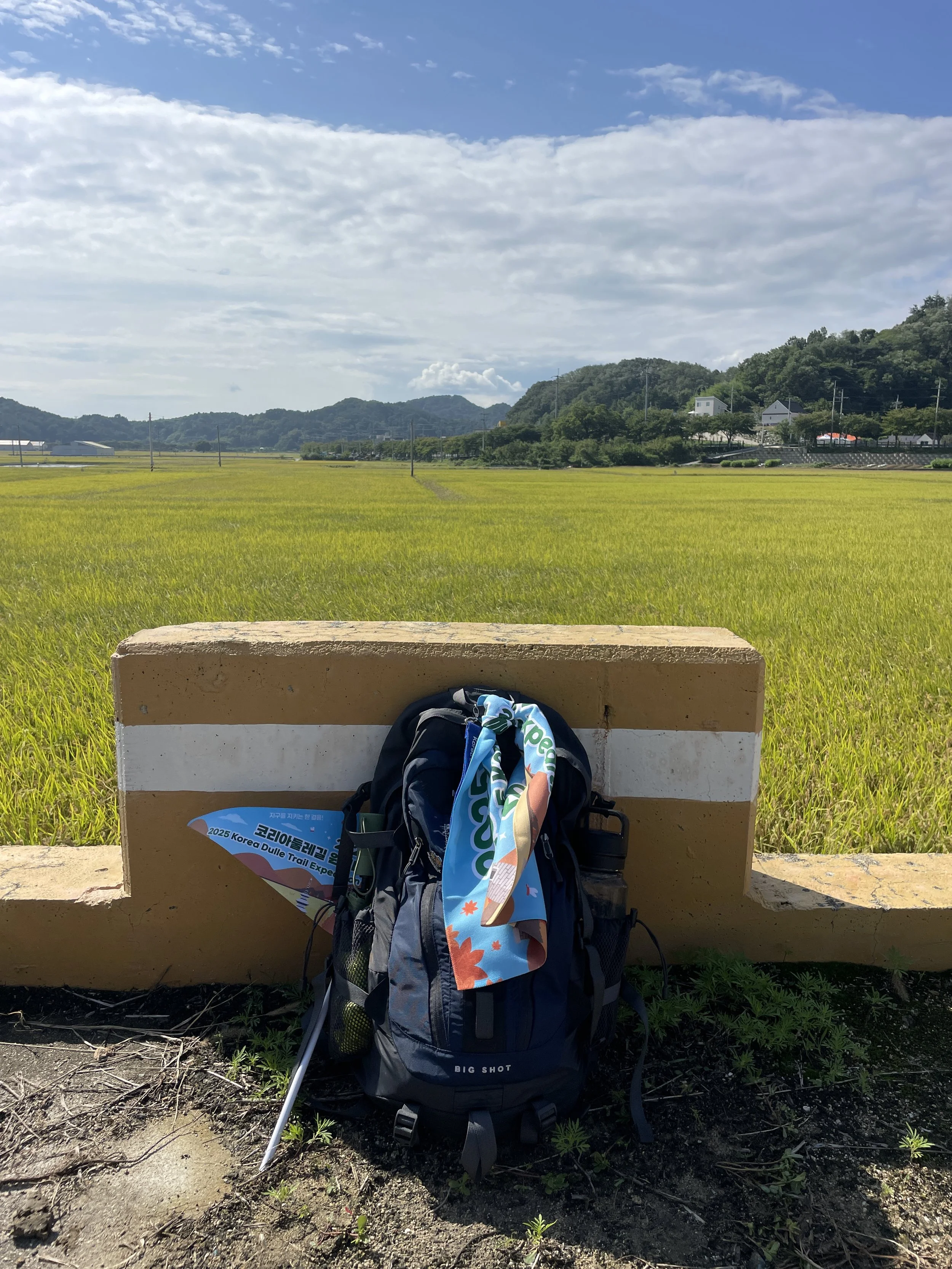
One of the Haeparang Dulle Gil trail flag markers.
Over six days, we followed Korea’s eastern coastline on foot, moving from historic cities and fishing ports toward quieter beaches and more dramatic northern scenery. Walking the trail in reverse revealed subtle shifts in landscape, pace, and emotion that I didn’t expect—but won’t forget.
If you want to compare routes and direction, I also documented last year’s journey in my 2024 Korea Dulle Trail Expedition, which followed a north-to-south path along the same trail system.
Day 1: Gyeongju

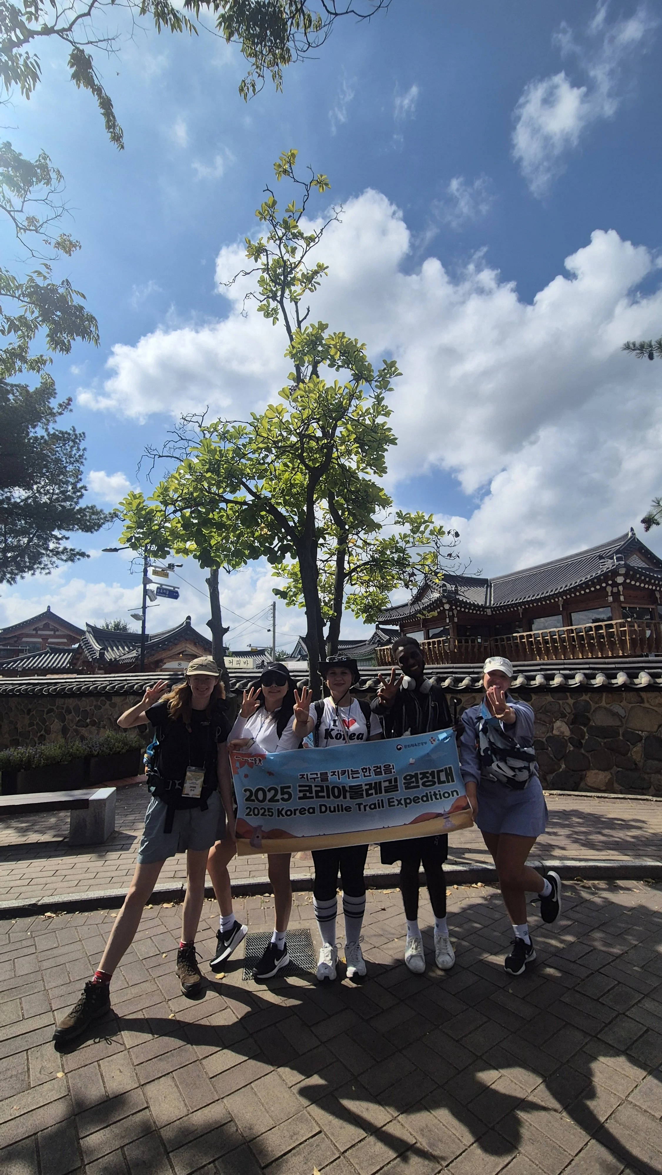
Our journey began at Gyeongju Station, where the group gathered before heading to the Gyeongju World Automobile Museum for the opening ceremony. It felt like a symbolic starting point—modern, unexpected, and set against the backdrop of one of Korea’s most historically significant cities.
From there, we walked to Gyeongju HICO (Hwabaek International Convention Center), the venue that hosted the 2025 APEC Summit. Knowing we were walking through a space tied to such a major global event added a quiet sense of gravity to the day.

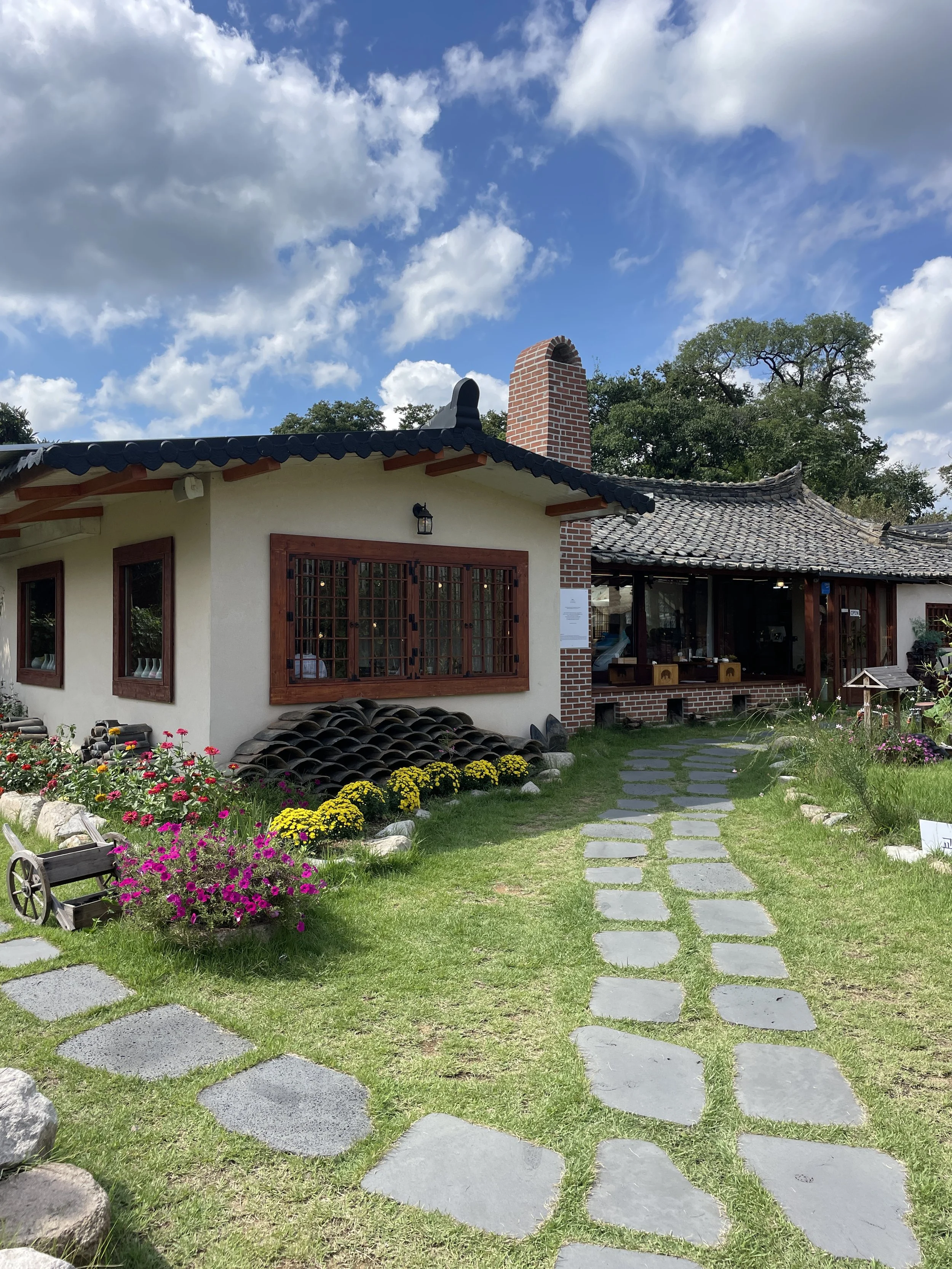
We continued on foot to our hotel, the Benikea Swiss Rosen Hotel. The evening was left open for dinner and independent exploration, giving everyone time to settle in and prepare for the days of walking ahead.
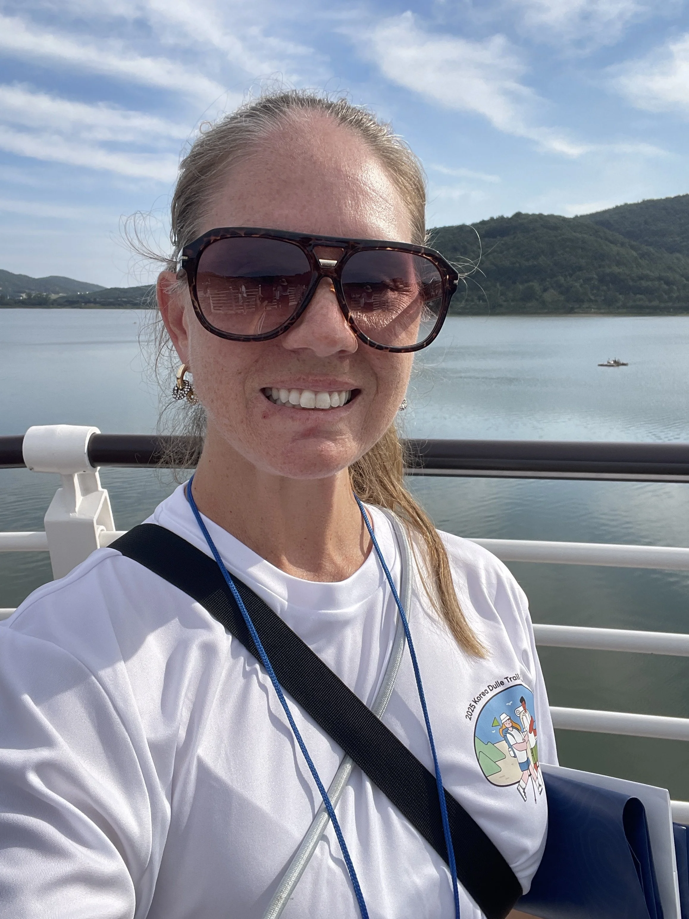
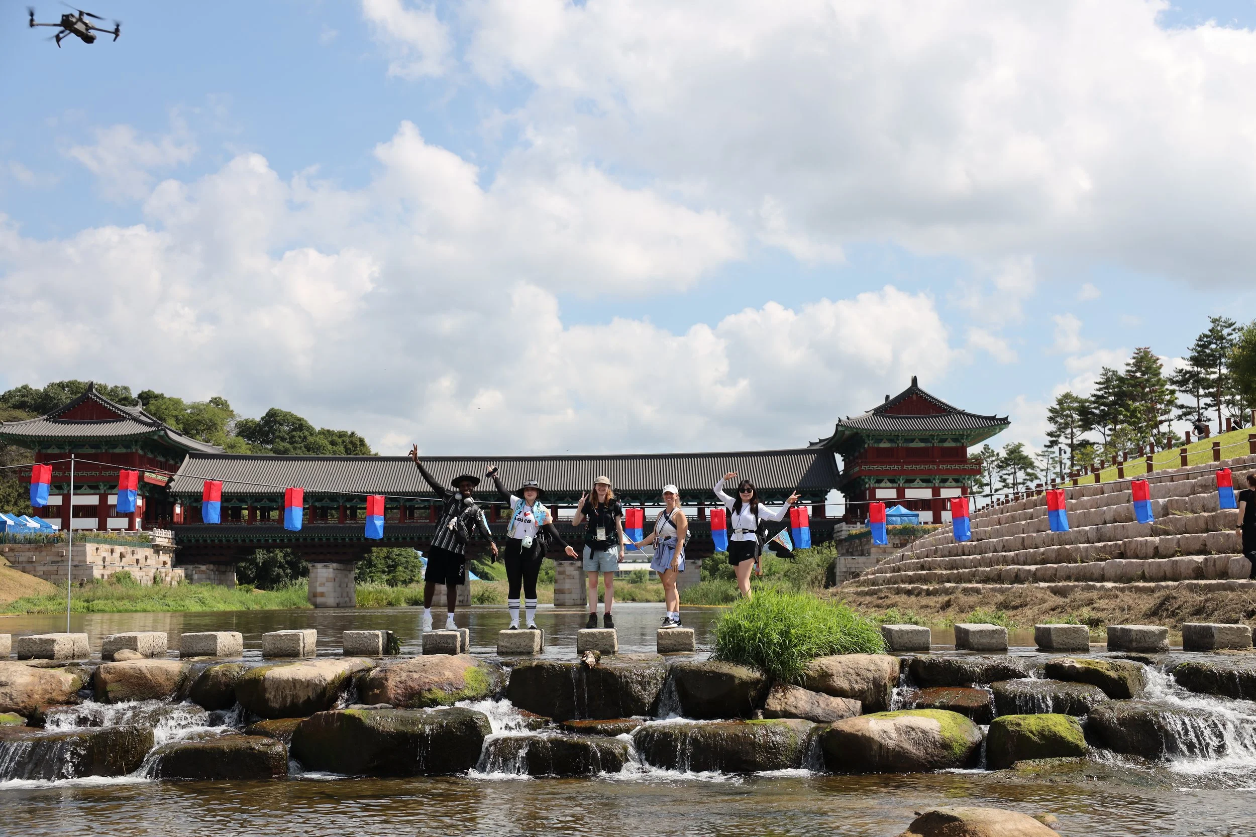
Day 2: Royal Tombs to Coastal Trails
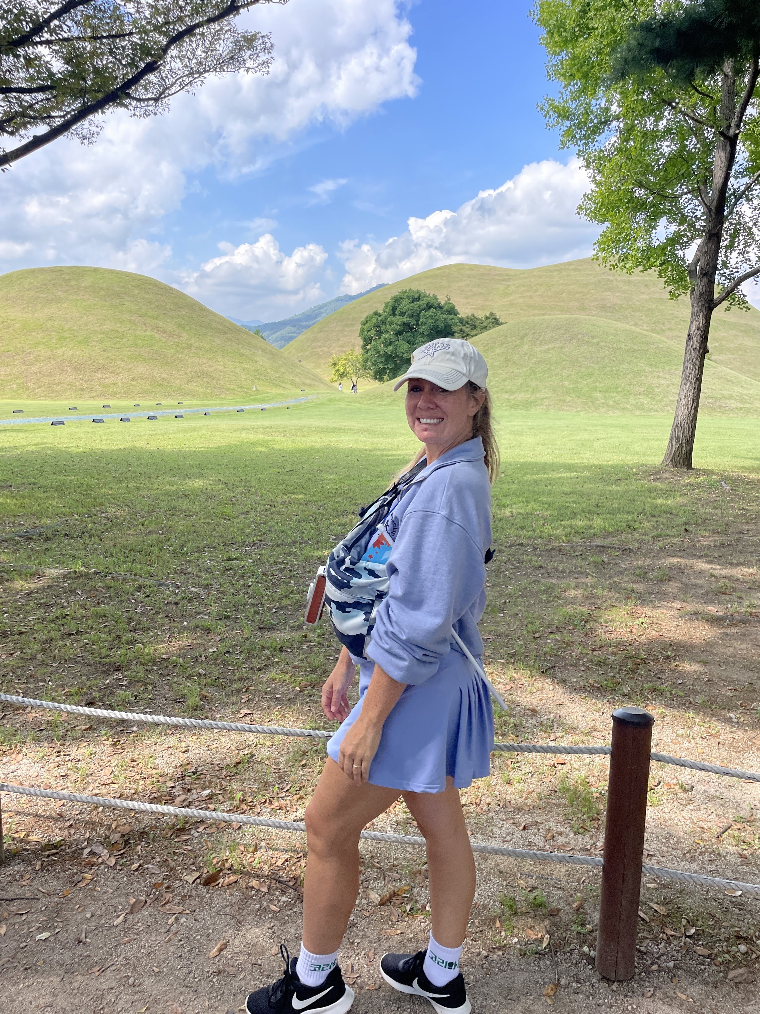
Standing in front of the royal tombs in Gyeongju, South Korea
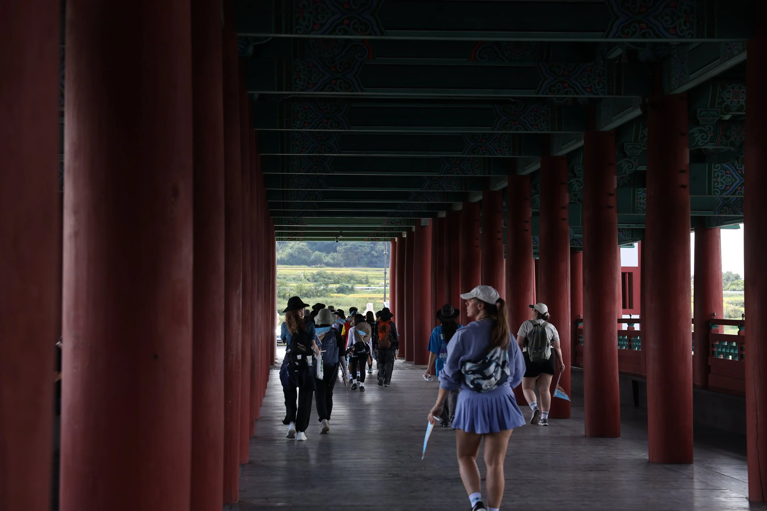
Our second day began among the royal tombs at Daereungwon, followed by a walk to Gyochon Hanok Village. This quiet, historic stretch set a reflective tone before we transitioned to the coast.
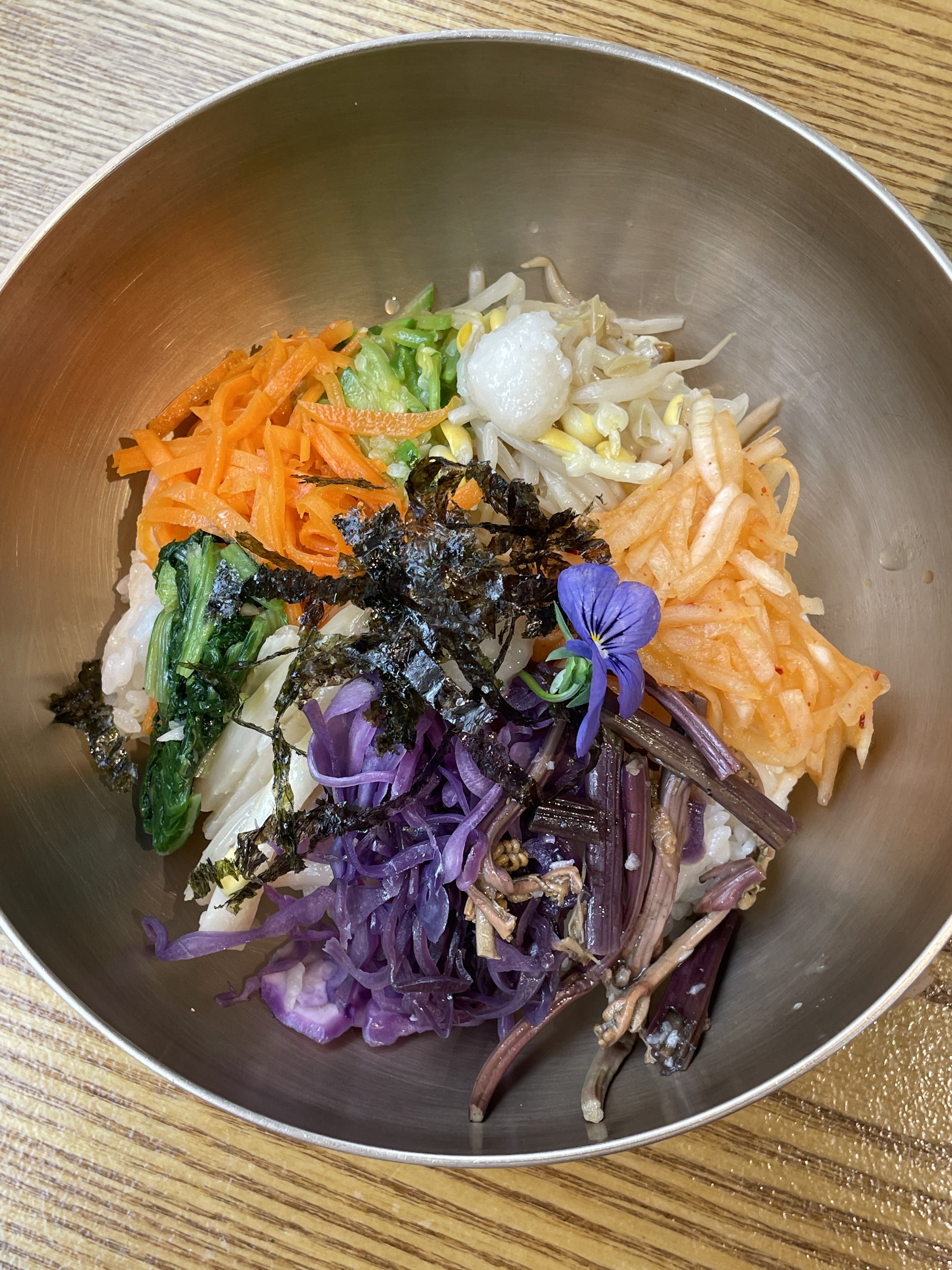
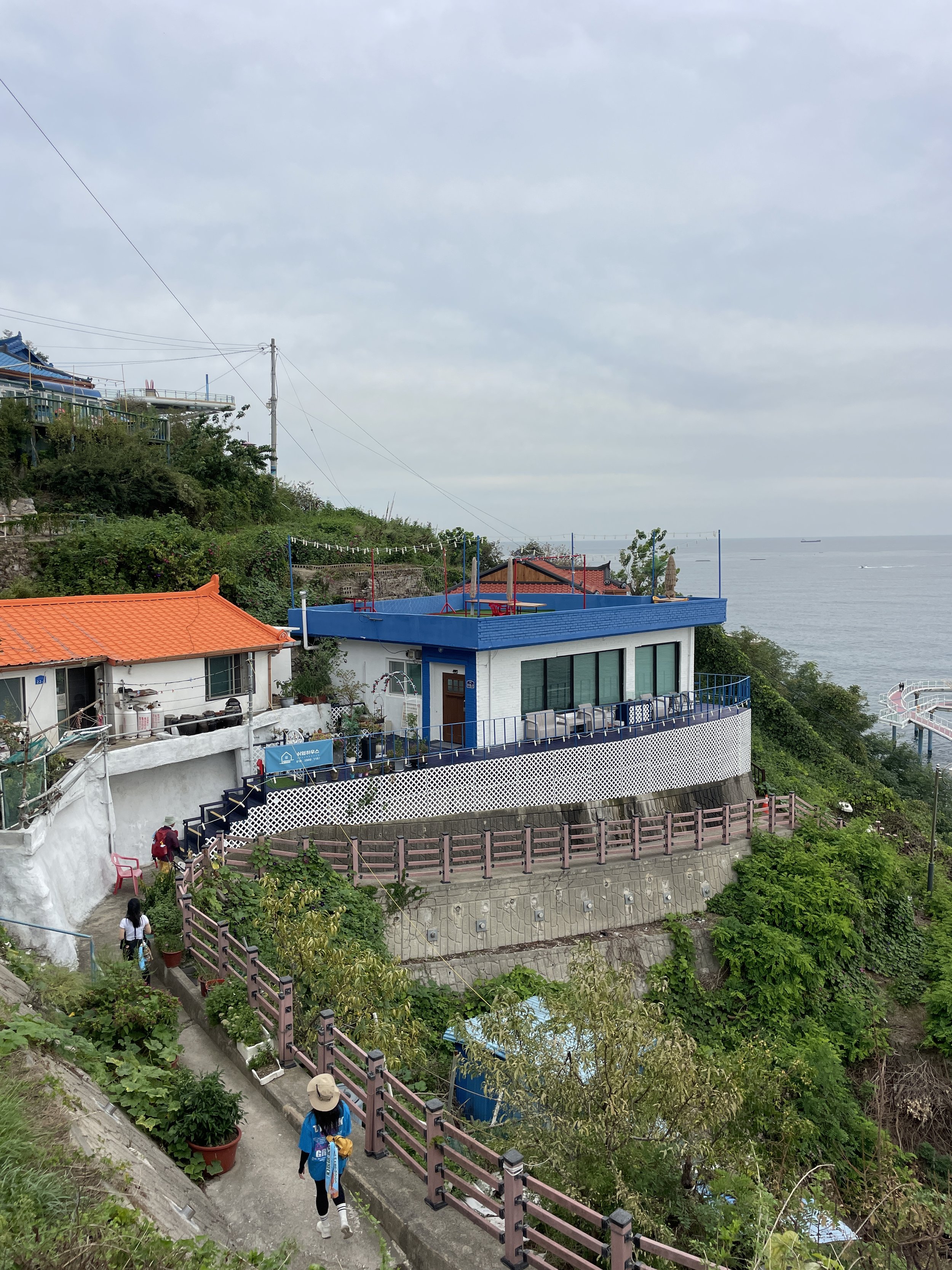
Lunch was vegan bibimbap at a popular local restaurant, followed by free time to explore the neighborhood. In the afternoon, we shuttled to Gampo Port to begin hiking Haeparang Trail Course 12.
The 9km walk from Gampo Port to Sobongdae took about three hours and marked our first true coastal section of the expedition. That evening, we traveled north to Yeongdeok Hillington Pension for the night.
Day 3: Long Coastal Miles
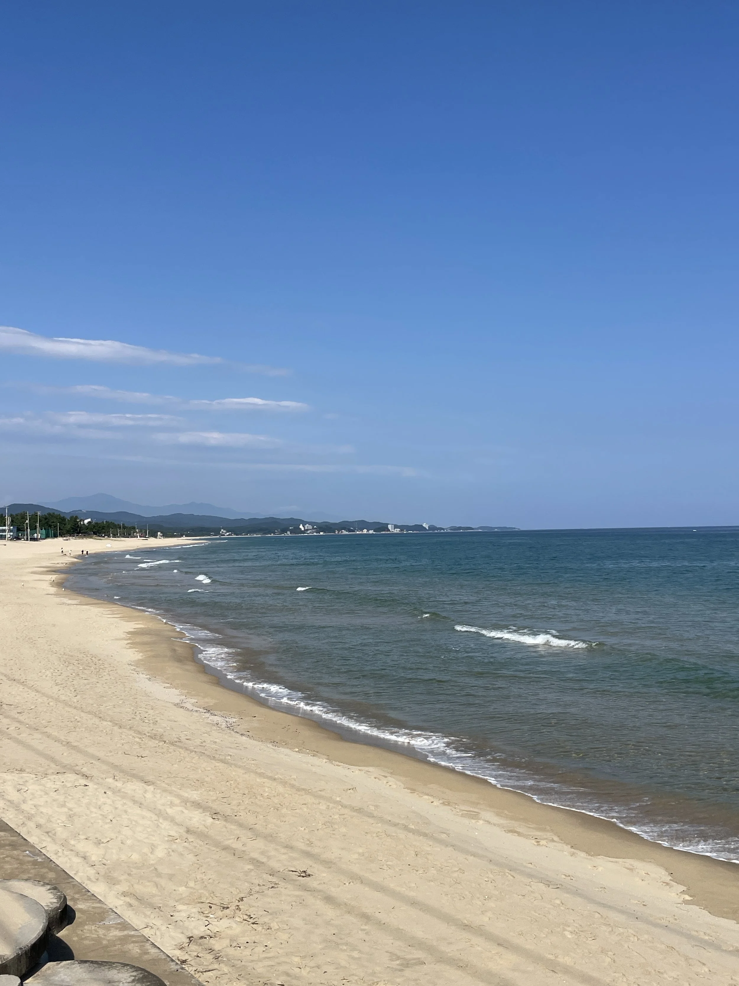
Day three focused on distance and endurance. We started at Hwajin Beach, hiking Haeparang Trail Course 19 to Gugye Port. The 9.2km stretch took roughly three and a half hours, with wide coastal views that made the miles feel rewarding rather than repetitive.
After lunch at Yeongyang Dolsotbap, we continued walking another 6.5km to the Ganggu Police Station, adding about two and a half more hours on foot. Not gonna lie, this day felt loooooong.
We ended the day at Uljin Deokgu Oncheon Hotel.
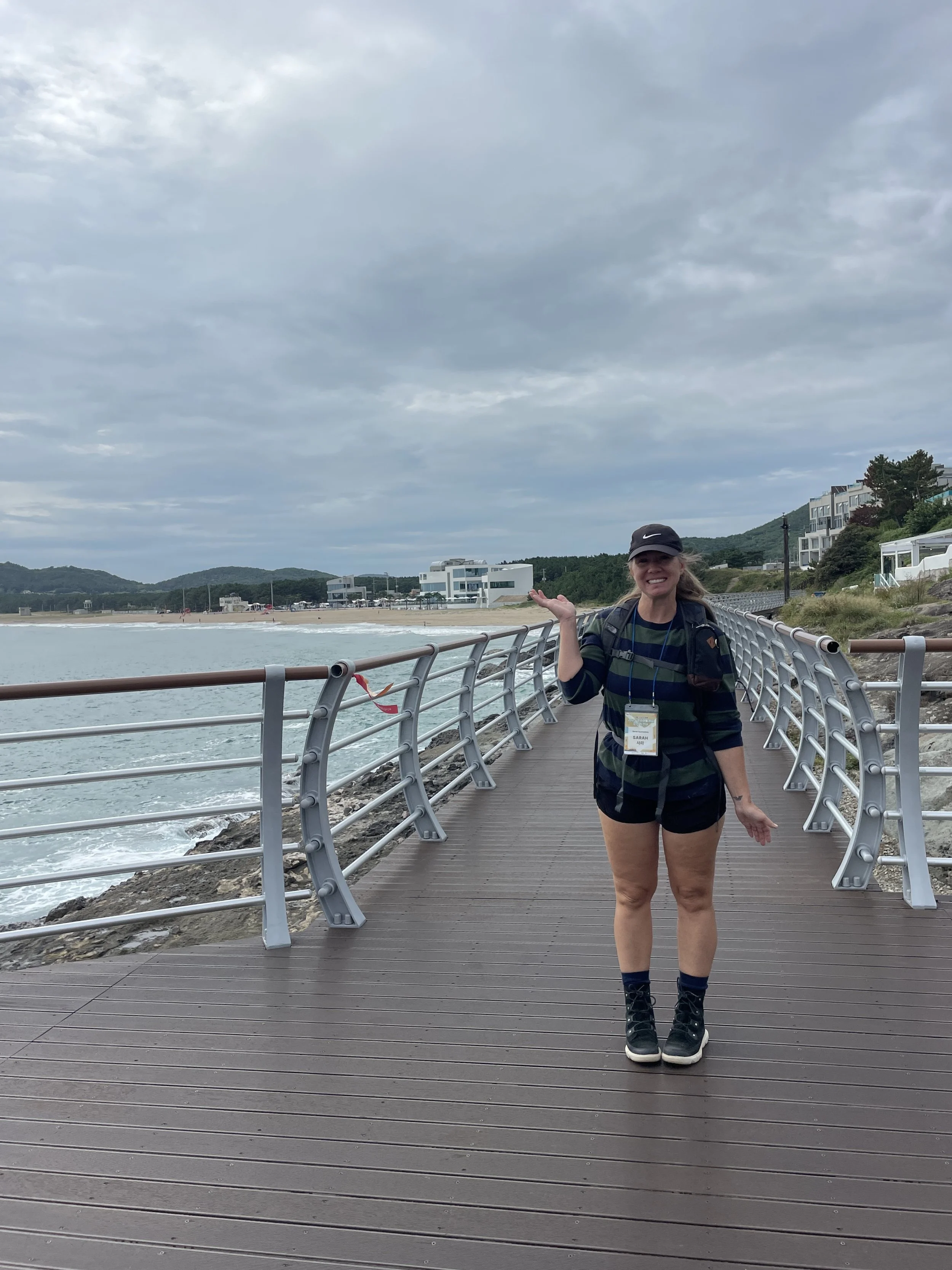
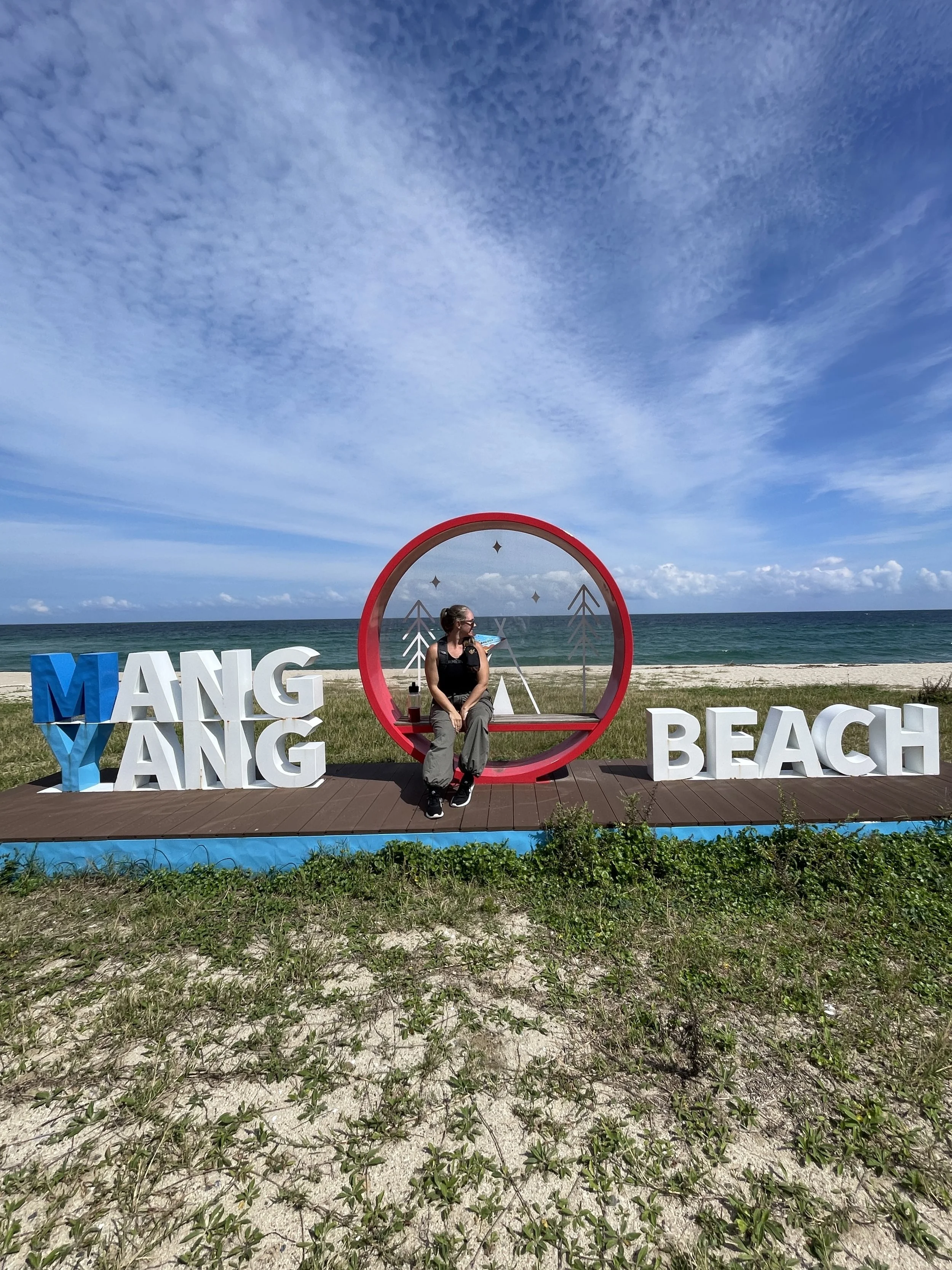
Day 4: Beaches
We began at Giseong Bus Terminal, hiking Haeparang Trail Course 25 to Giseong Mangyang Beach. The 6km route took around two hours and offered a lighter start after the previous day’s long distances.
After lunch, we continued along Course 25 from Osan Camping Ground to Mangyangjeong Pavilion. This 8.7kmsection took about three hours and rewarded us with sweeping views from the pavilion overlooking the coast.
That night, we stayed at Donghae Hotel New Donghae, a familiar stop from last year’s expedition—and a reminder of how differently the same locations can feel when approached from a new direction.
Day 5: Shorter Trails
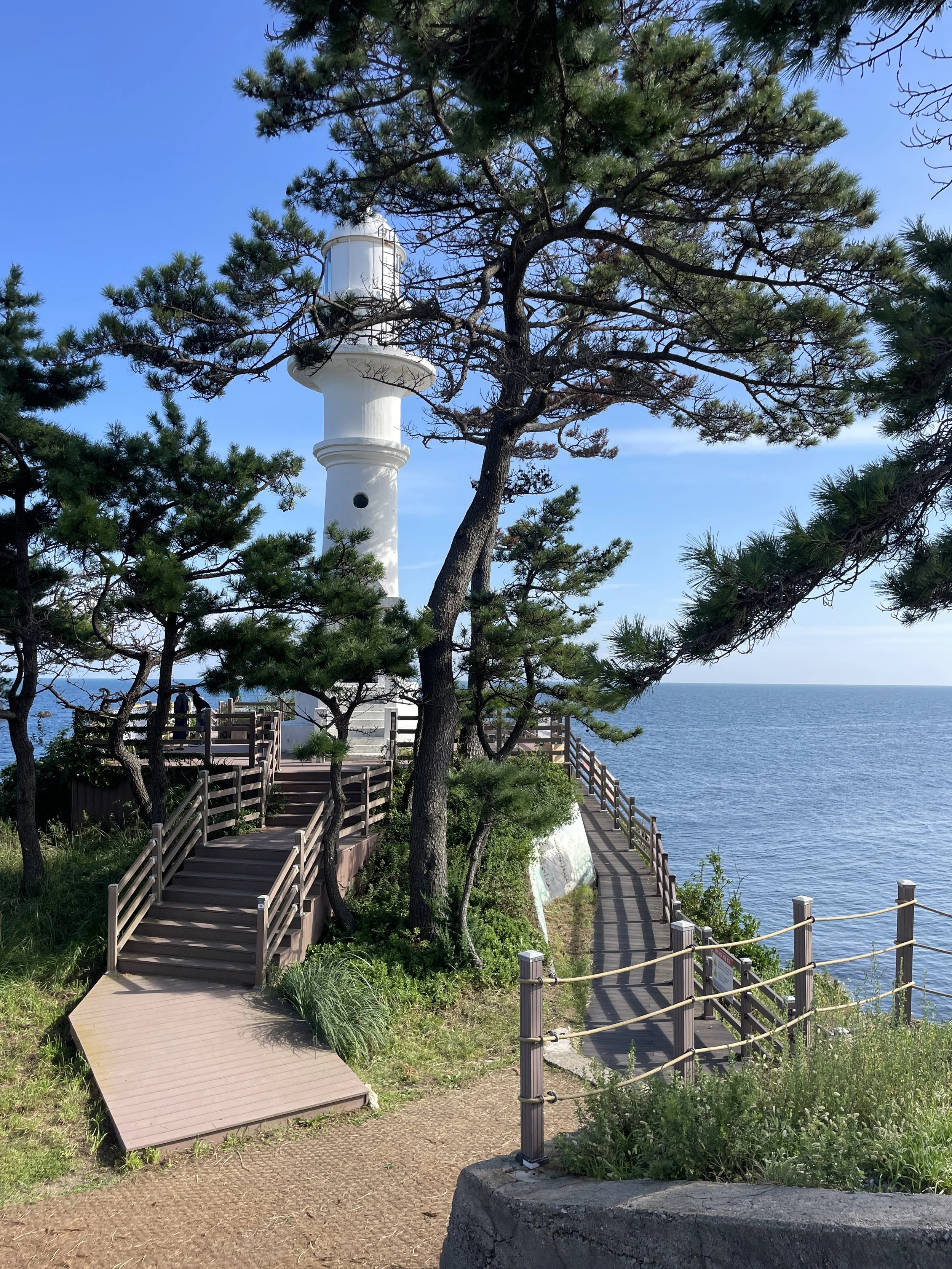
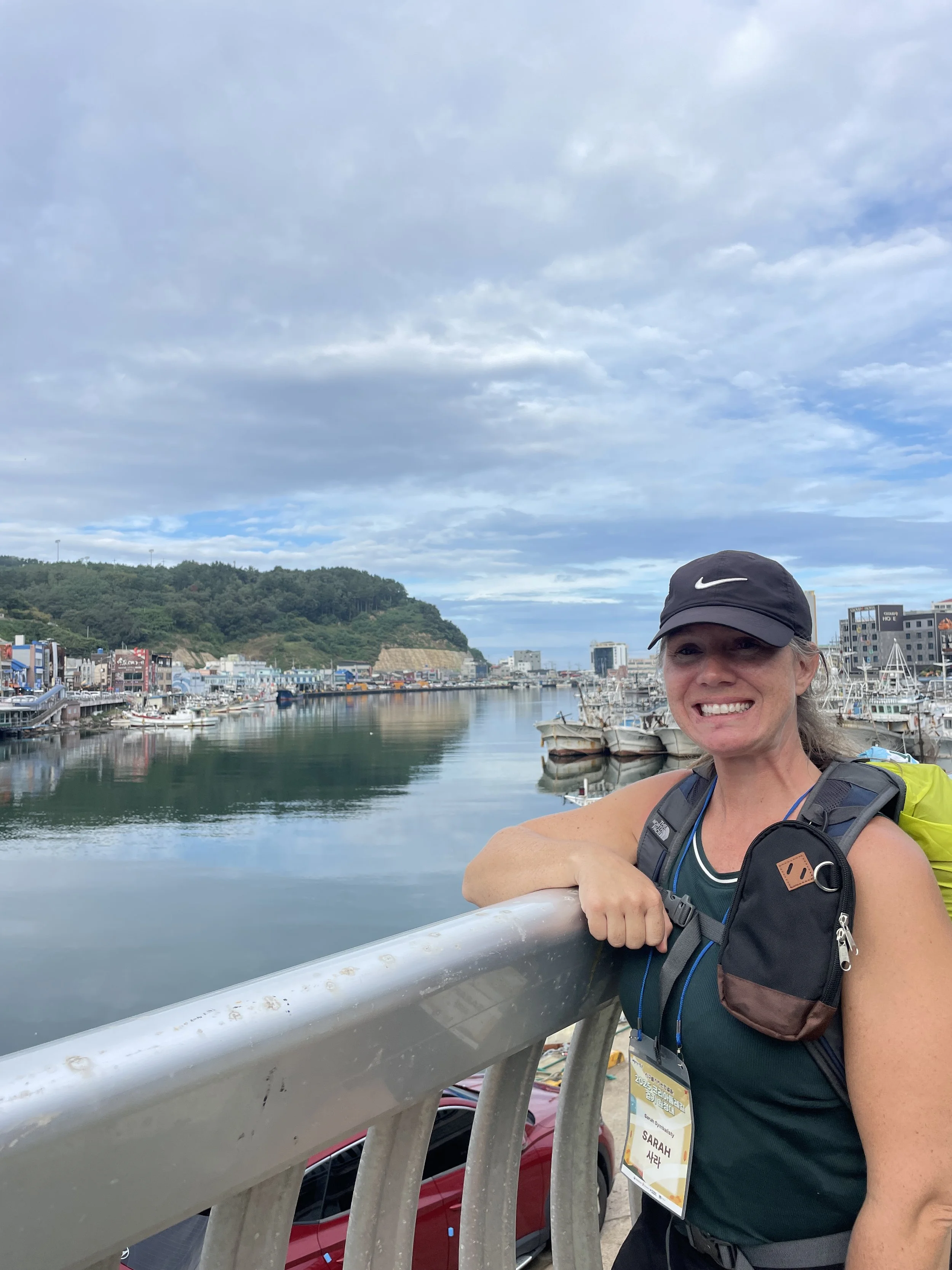
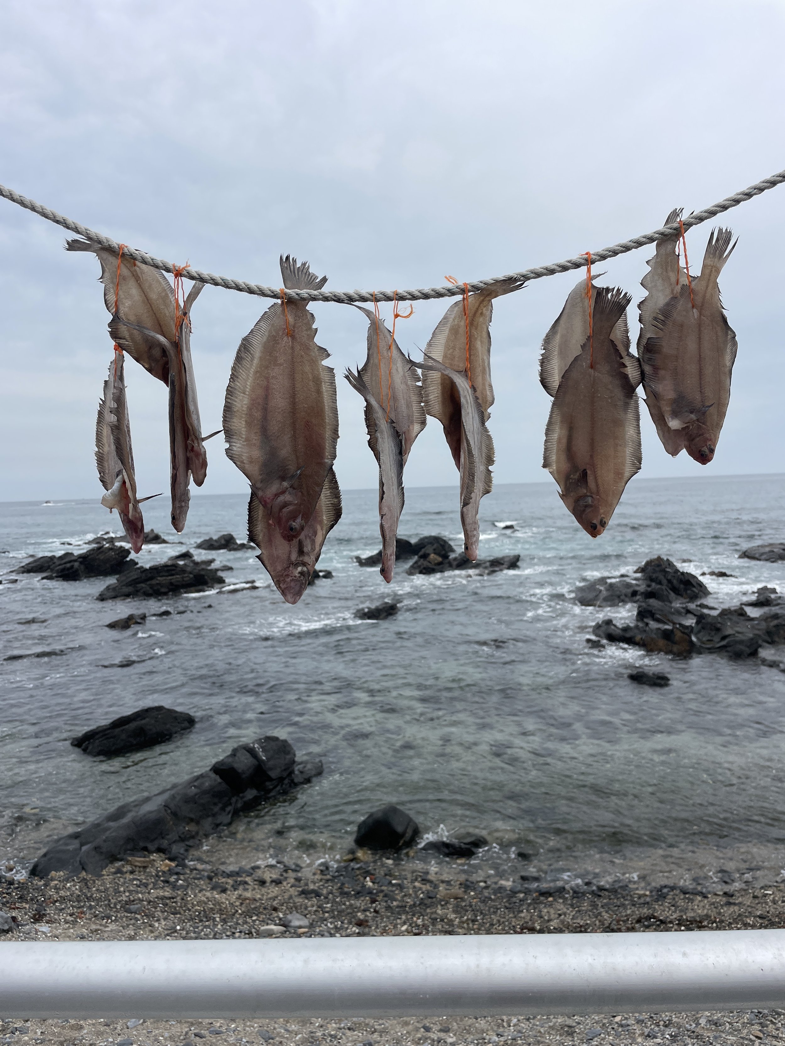
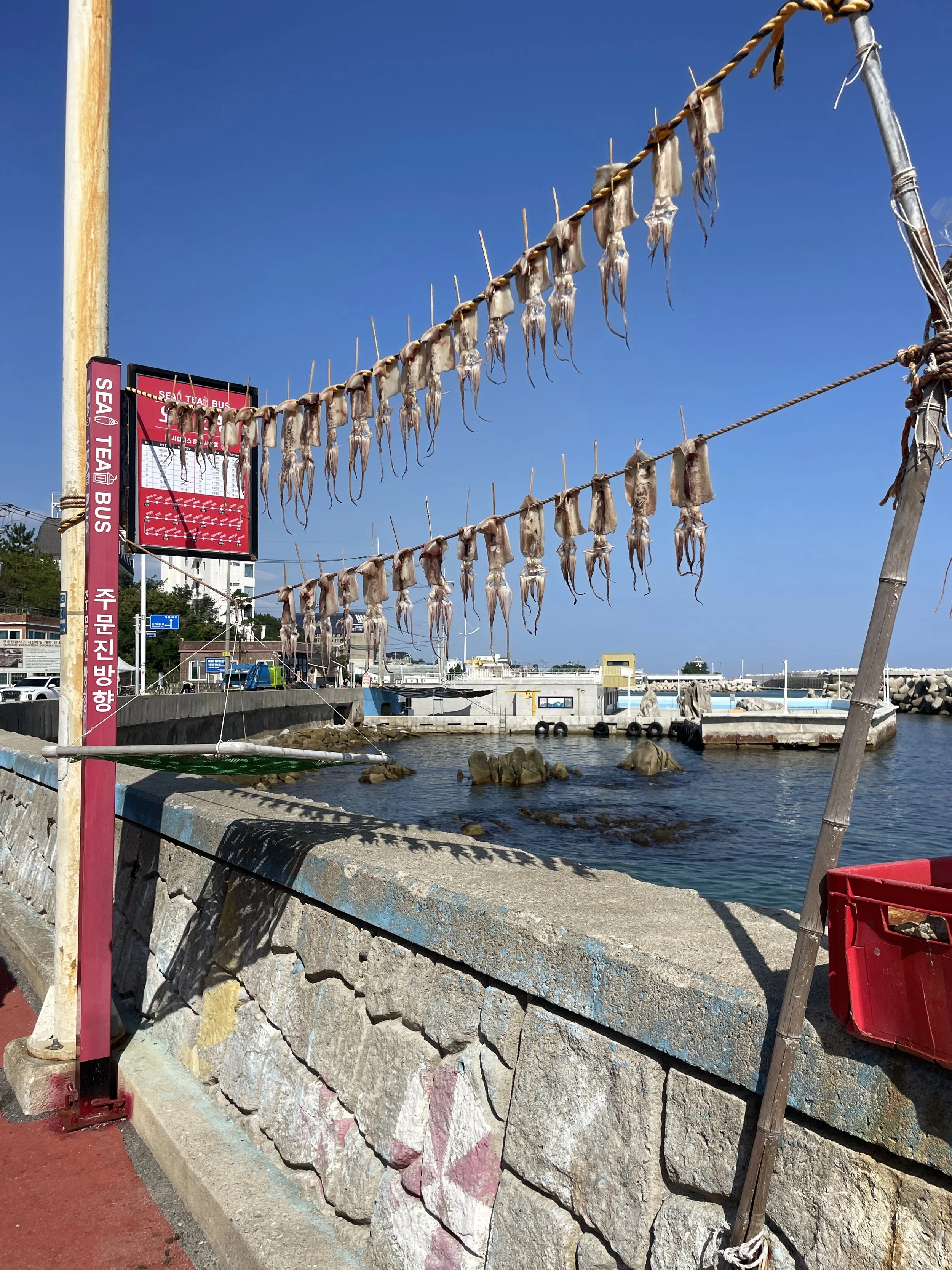
Day five began at Mukho Port, one of my favorite stops along the entire Haeparang Trail. This area has consistently been a highlight for me—both for the atmosphere of the working port and for what I consider some of the most scenic and enjoyable trail sections on Korea’s east coast.
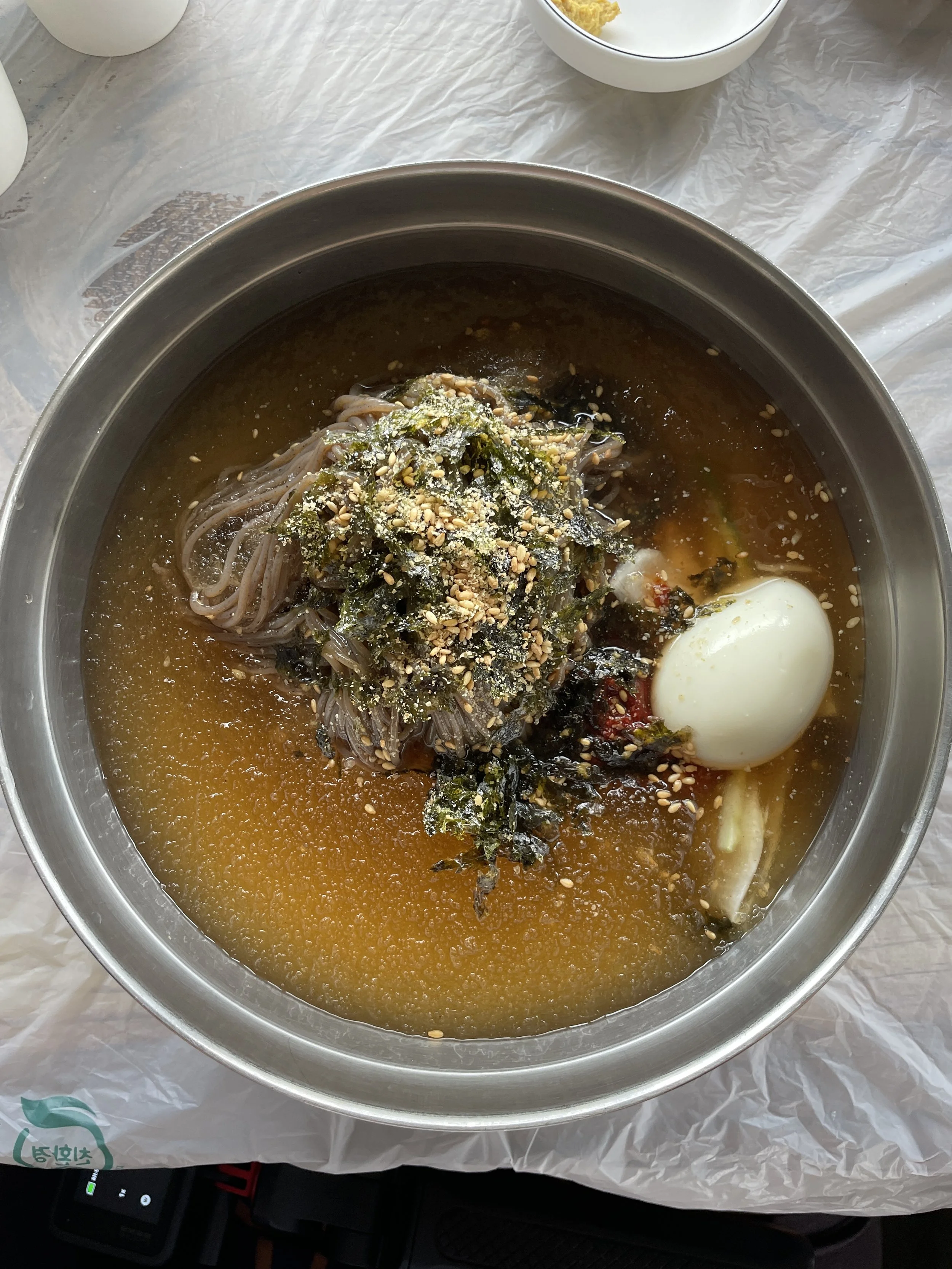
Lunch was mul makguksu or bibim makguksu, cold, spicy, and perfect after a morning on the trail. We then walked another 4km from Daejin Port to Mangsang Auto Camping Ground.
The day ended with a deeply meaningful visit to Samhwasa Temple, where we participated in guided meditation and made our own rosary beads—a quiet, reflective contrast to the physical intensity of hiking.
Day 6: Northern Trails and Saying Goodbye
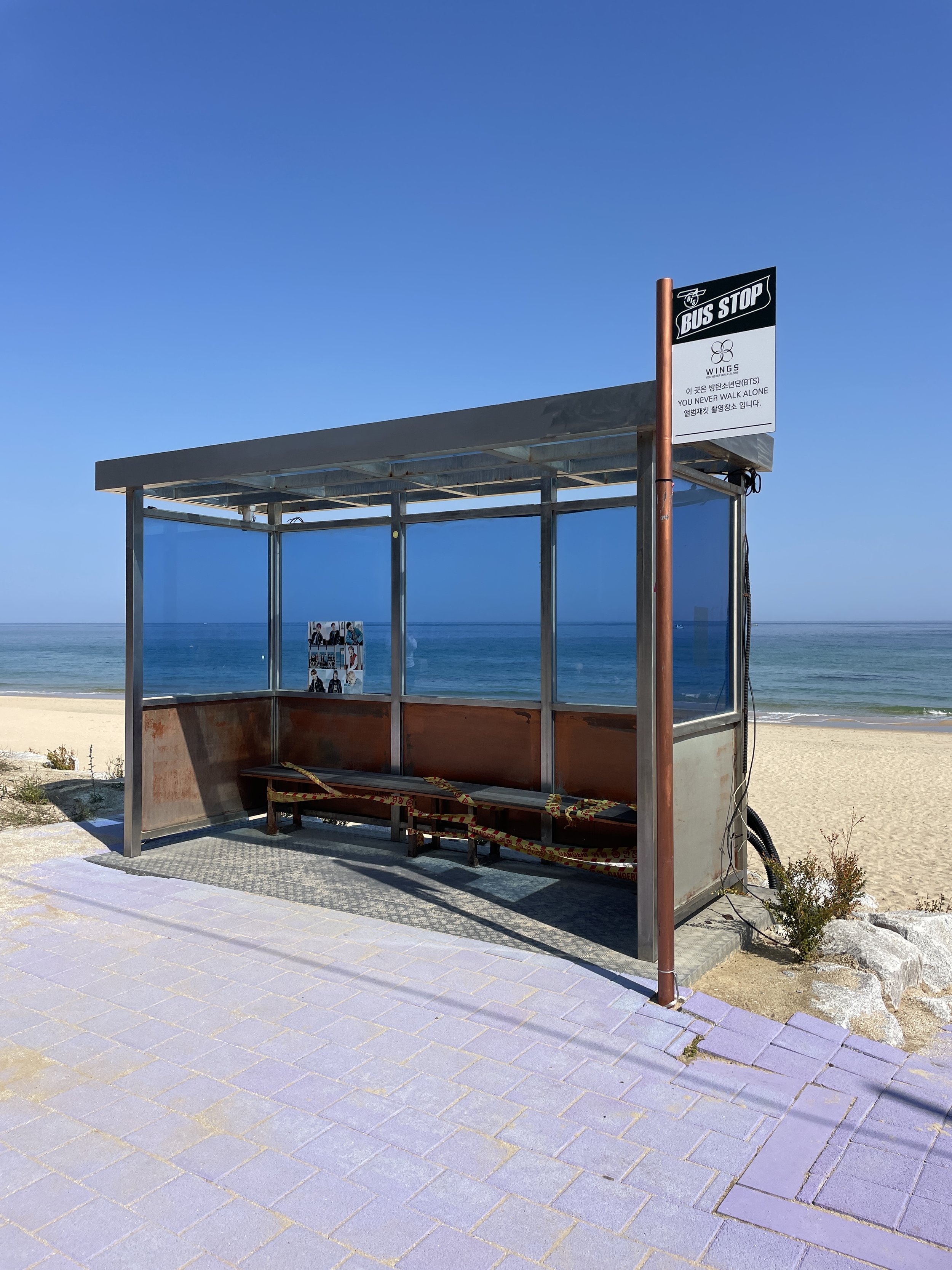
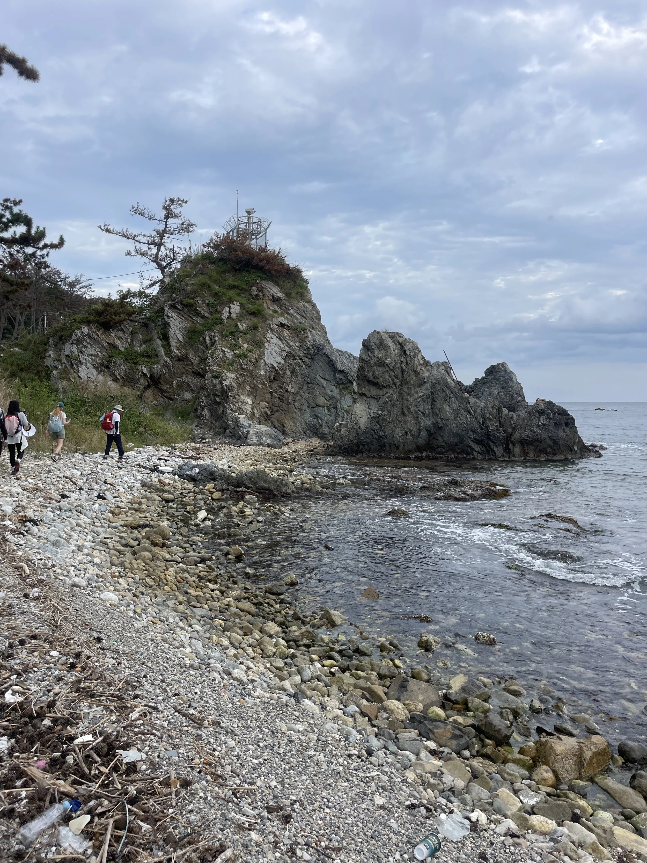
Our final hike began at Yeongjin Beach, walking Haeparang Trail Course 40 to the BTS Bus Stop. The 7km route took about two hours, and by this point, it was clear: the farther north we walked, the more I loved the scenery.
The northern sections of the Haeparang Trail felt more open, peaceful, and immersive than the southern routes—an unexpected highlight of hiking in this direction.
Lunch was jjamppong sundubu, followed by an emotional closing ceremony complete with medals and awards.
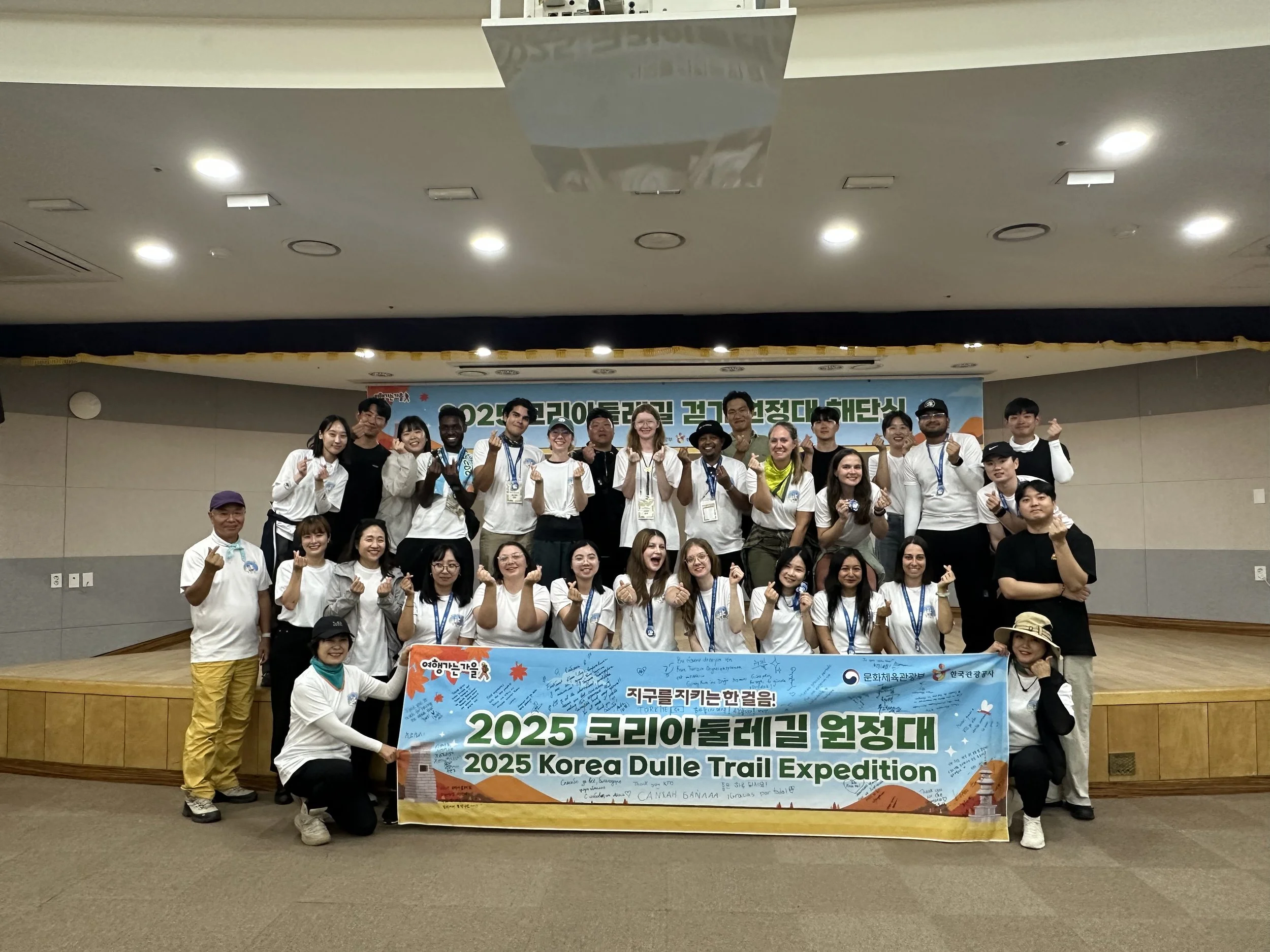
The 2025 Korea Dulle Trail Expedition group including the hikers, the guides, the video crew, translator and KTO crew.
Walking the Haeparang Trail from south to north gave me a completely new perspective on Korea’s Dulle-gil network. The southern sections are rich with history and urban connections, while the northern stretches feel quieter, wilder, and deeply scenic.
If you’re planning your own walk, I highly recommend using Durunubi, Korea’s official trail platform, to explore routes, distances, and logistics. And if you’re curious how this experience compares, make sure to read about last year’s Korea Dulle Trail Expedition to see how direction alone can change the entire journey.
This year’s expedition reminded me why I keep saying yes to these trails: every step tells a story, and no two walks are ever the same.

My new friend, Josie!
My roommate during the trip was an amazing girl named Josie, and if you’re craving more visuals, she documented the entire experience— you can watch each day’s vlog on her YouTube channel.